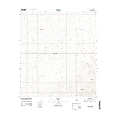
2015 Map of Denali C-3 SE
USGS Topo · Published 2015About this map
Denali National Park encompasses the majority of this Alaskan wilderness, where the high ridges of the Kantishna Hills and the steep elevation of Brooker Mtn dominate the southern landscape. The terrain is defined by a dense network of drainages, including the northward flow of Moose Cr and Bear Cr, which cut through several topographical landmarks like the Lower Canyon and Reindeer Hill. In the southeast, the slopes of Alpha Ridge rise sharply near the headwaters of Eldorado Cr and Reinhart Cr. The map captures a section of the park largely devoid of modern road infrastructure, emphasizing the natural watercourses and prominent peaks that have long served as the primary points of orientation for travelers and explorers in the Denali Borough.
Find a feature on this map
16 named features on this map. Tap any name to fly to it.
Don’t see what you’re looking for? This feature index may not catch every label — zoom into the map to look around manually.
Map Details
Editions of this 2015 Denali C-3 SE Map
This is the sole edition of this map. No revisions or reprints were ever made.
Other maps of this area

1952 · Mount McKinley
USGS Topo · 1:250,000

1952 · Mount McKinley B-2
USGS Topo · 1:63,360

1952 · Mount McKinley C-3
USGS Topo · 1:63,360

1952 · Mount McKinley C-2
USGS Topo · 1:63,360

1953 · Mount McKinley B-3
USGS Topo · 1:63,360

1954 · Mount McKinley B-3
USGS Topo · 1:63,360

1954 · Mount McKinley B-2
USGS Topo · 1:63,360

1954 · Mount McKinley C-2
USGS Topo · 1:63,360

1958 · Mount McKinley
USGS Topo · 1:250,000

1969 · Mount McKinley
USGS Topo · 1:250,000