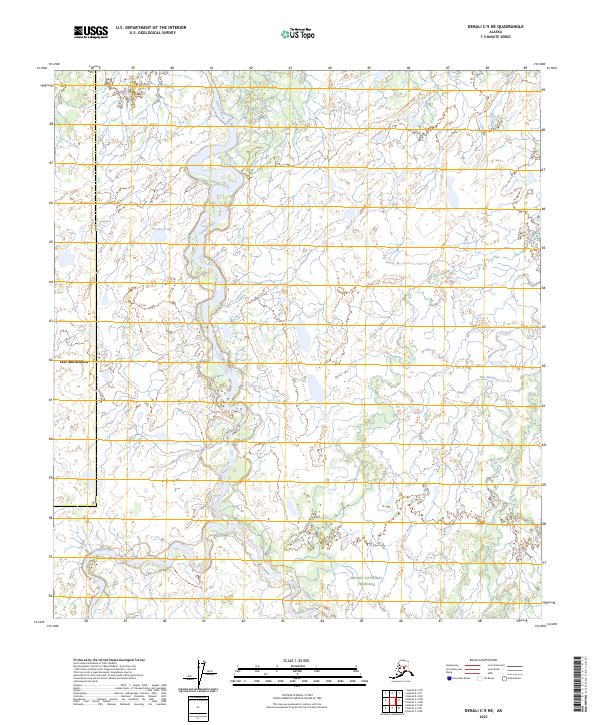
2023 Map of Denali C-5 NE
USGS Topo · Published 2023About this map
The Denali National Preserve encompasses the southeastern portion of this landscape, where the meandering Foraker River flows northward through a complex network of wetlands and small water bodies. The terrain is defined by its dramatic glacial hydrology, featuring the expansive Lake Minchumina on the western edge and the southern reaches of the Herron River. This map reveals a largely uninhabited wilderness where water dictates the movement of the land, particularly through features like Hot Slough and Foraker Pond. The grid of the Public Land Survey System, including t14s r24w, overlays this remote subarctic environment, providing a structured framework for a region otherwise shaped entirely by natural forces and seasonal flow.
Find a feature on this map
12 named features on this map. Tap any name to fly to it.
Don’t see what you’re looking for? This feature index may not catch every label — zoom into the map to look around manually.
Map Details
Editions of this 2023 Denali C-5 NE Map
This is the sole edition of this map. No revisions or reprints were ever made.
Other maps of this area

1952 · Mount McKinley
USGS Topo · 1:250,000

1953 · Mount McKinley C-5
USGS Topo · 1:63,360

1953 · Mount McKinley D-5
USGS Topo · 1:63,360

1953 · Mount McKinley C-4
USGS Topo · 1:63,360

1953 · Mount McKinley D-4
USGS Topo · 1:63,360

1954 · Mount McKinley C-4
USGS Topo · 1:63,360

1954 · Mount McKinley D-4
USGS Topo · 1:63,360

1954 · Mount McKinley D-5
USGS Topo · 1:63,360

1954 · Mount McKinley C-5
USGS Topo · 1:63,360

1958 · Mount McKinley
USGS Topo · 1:250,000