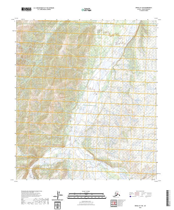
2023 Map of Denali D-1 NE
USGS Topo · Published 2023About this map
The braided channels of the Toklat River dominate this interior landscape of Denali National Park, revealing a network of glacial runoff and wilderness drainages. This high-latitude terrain is defined by its massive watercourses, including the East Fork Toklat River and Clear Creek, which carve through the northern foothills. The map captures the complex hydrography of the region at a time when mapping precision through the National Hydrography Dataset allows for the detailed tracing of smaller tributaries like Alder Creek, Wigand Creek, and Little Creek. These features illustrate the natural drainage patterns of the Alaska Range's northern slopes, where shifting riverbeds and wetlands form a dynamic environment largely untouched by permanent settlement or infrastructure.
Find a feature on this map
12 named features on this map. Tap any name to fly to it.
Don’t see what you’re looking for? This feature index may not catch every label — zoom into the map to look around manually.
Map Details
Editions of this 2023 Denali D-1 NE Map
This is the sole edition of this map. No revisions or reprints were ever made.
Other maps of this area

1948 · Kantishna River
USGS Topo · 1:250,000

1950 · Fairbanks
USGS Topo · 1:250,000

1951 · Healy
USGS Topo · 1:250,000

1951 · Kantishna River
USGS Topo · 1:250,000

1951 · Fairbanks
USGS Topo · 1:250,000

1951 · Mount McKinley D-1
USGS Topo · 1:63,360

1951 · Healy D-6
USGS Topo · 1:63,360

1952 · Mount McKinley
USGS Topo · 1:250,000

1952 · Fairbanks A-6
USGS Topo · 1:63,360

1952 · Kantishna River A-1
USGS Topo · 1:63,360