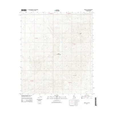
2015 Map of Denali D-1 NW
USGS Topo · Published 2015About this map
Denali National Park encompasses the interior of this survey, where the drainages of Chitsia Cr and Flume Cr carve through the northern landscape. The elevation is dominated by the Chitsia Mtn peak in the northeast and the southern extent of the Kantishna Hills in the southeast. This map captures the intricate topographical contours of the region before the modern landscape was further altered by shifting glacial and fluvial patterns.
Find a feature on this map
13 named features on this map. Tap any name to fly to it.
Don’t see what you’re looking for? This feature index may not catch every label — zoom into the map to look around manually.
Map Details
Editions of this 2015 Denali D-1 NW Map
This is the sole edition of this map. No revisions or reprints were ever made.
Other maps of this area

1948 · Kantishna River
USGS Topo · 1:250,000

1951 · Kantishna River
USGS Topo · 1:250,000

1951 · Mount McKinley D-1
USGS Topo · 1:63,360

1952 · Mount McKinley
USGS Topo · 1:250,000

1952 · Kantishna River A-1
USGS Topo · 1:63,360

1952 · Kantishna River
USGS Topo · 1:250,000

1952 · Kantishna River A-2
USGS Topo · 1:63,360
1953 · Kantishna River A-1
USGS Topo · 1:63,360

1954 · Mount McKinley D-2
USGS Topo · 1:63,360

1954 · Mount McKinley D-1
USGS Topo · 1:63,360