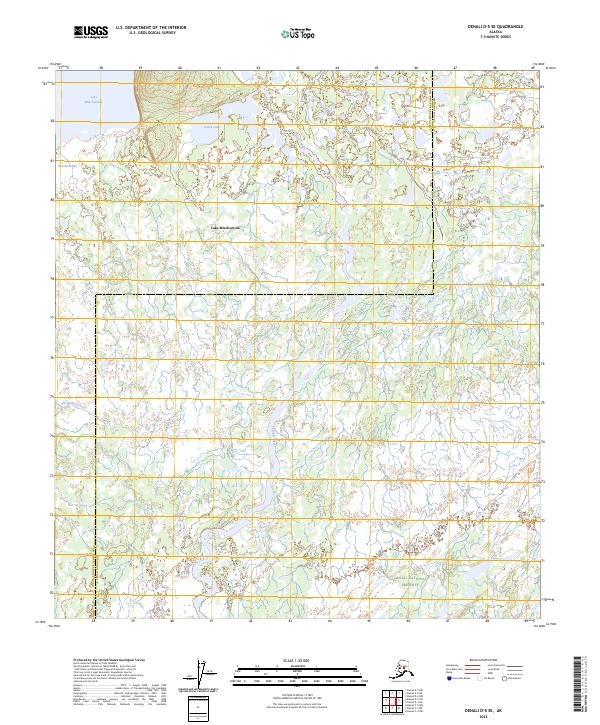
2023 Map of Denali D-5 SE
USGS Topo · Published 2023About this map
Lake Minchumina anchors the northern landscape of this interior Alaska wilderness, where the New River Bay meets a vast network of wetlands and tundra. The southern portion of the map is defined by the boundary of the Denali National Preserve, a region where the meandering Foraker River flows through a complex drainage basin. The area is characterized by scattered water bodies like Holek Lake and seasonal waterways including Old Woman Creek and Spooky Creek. This 2023 survey by the U.S. Geological Survey illustrates a remote landscape where the Yukon-Koyukuk Census Area and Denali Borough meet, highlighting the intricate hydrology of the subarctic environment before it reaches the higher elevations of the Alaska Range.
Find a feature on this map
12 named features on this map. Tap any name to fly to it.
Don’t see what you’re looking for? This feature index may not catch every label — zoom into the map to look around manually.
Map Details
Editions of this 2023 Denali D-5 SE Map
This is the sole edition of this map. No revisions or reprints were ever made.
Other maps of this area

1952 · Mount McKinley
USGS Topo · 1:250,000

1953 · Mount McKinley C-5
USGS Topo · 1:63,360

1953 · Mount McKinley D-5
USGS Topo · 1:63,360

1953 · Mount McKinley C-4
USGS Topo · 1:63,360

1953 · Mount McKinley D-4
USGS Topo · 1:63,360

1954 · Mount McKinley C-4
USGS Topo · 1:63,360

1954 · Mount McKinley D-4
USGS Topo · 1:63,360

1954 · Mount McKinley D-5
USGS Topo · 1:63,360

1954 · Mount McKinley C-5
USGS Topo · 1:63,360

1958 · Mount McKinley
USGS Topo · 1:250,000