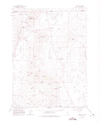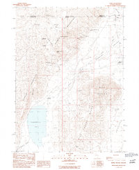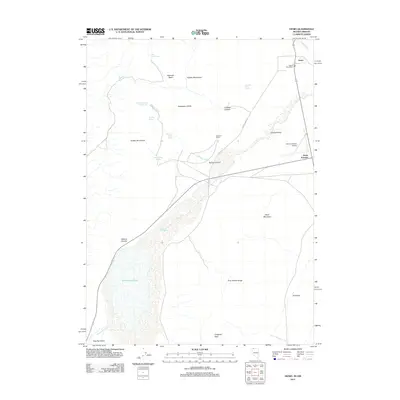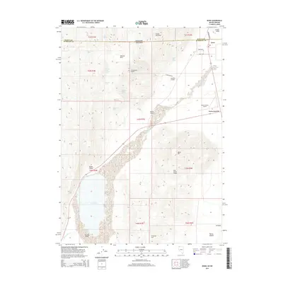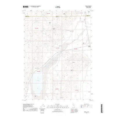
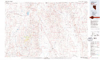
1979 Map of Denio
USGS Topo · Published 1979About this map
The high desert landscape along the Nevada and Oregon border centers on Denio, a settlement perched at the edge of the Pueblo Mountains and the northern reaches of the Quinn River. This 1979 survey captures a region defined by its rugged isolation and mineral extraction, with numerous workings dotting the slopes of the Bilk Creek Mountains and the Pine Forest Range. The presence of sites like the Ashdown Mine and Moonlight Mine illustrates a legacy of prospecting in this remote corner of Humboldt County. To the west, the Sheldon National Wildlife Refuge preserves the sagebrush steppe of the Big Spring Table. Water is a critical and sparse resource here, concentrated in features like Continental Lake and the geothermal waters of Bog Hot Reservoir, which serve as vital landmarks in the arid Bog Hot Valley.
Find a feature on this map
65 named features on this map. Tap any name to fly to it.
Don’t see what you’re looking for? This feature index may not catch every label — zoom into the map to look around manually.
Map Details
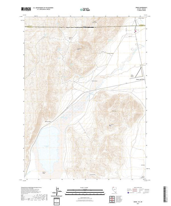
Editions of this 1979 Denio Map
4 editions found
Historical Maps of Denio Through Time
7 maps found