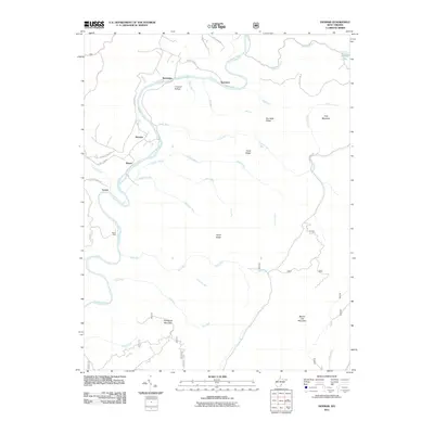
2011 Map of Denmar
USGS Topo · Published 2011About this map
The Greenbrier River dictates the settlement pattern and movement through this part of Pocahontas County, winding past the riverside communities of Denmar, Beard, and Burnsides. The landscape is defined by the repetitive climb from the river valley to prominent heights like Pyle Mountain and Beaver Lick Mountain, creating a network of secluded drainages such as Crowser Hollow and Spice Run. Local travel relies on a system of secondary routes, including County HWY-31 and several forestry service roads that navigate the complex topography. Small settlements like Kennison and Locust are situated near these crossings and ridge lines, reflecting the traditional rural orientation toward the river's path and the resources of the surrounding timberlands. Water features are abundant throughout the quadrangle, ranging from the concentrated waters of Watoga Lake to numerous named runs like Island Lick Run and Nigh Gap Run that feed the river system.
Find a feature on this map
42 named features on this map. Tap any name to fly to it.
Don’t see what you’re looking for? This feature index may not catch every label — zoom into the map to look around manually.
Map Details
Editions of this 2011 Denmar Map
This is the sole edition of this map. No revisions or reprints were ever made.
Other maps of this area

1887 · Lewisburg
USGS Topo · 1:125,000

1891 · Lewisburg
USGS Topo · 1:125,000

1891 · Huntersville
USGS Topo · 1:125,000

1894 · Huntersville
USGS Topo · 1:125,000

1921 · Callaghan
USGS Topo · 1:48,000

1921 · White Sulphur Springs
USGS Topo · 1:48,000

1923 · Lobelia
USGS Topo · 1:48,000

1923 · White Sulphur Springs
USGS Topo · 1:62,500

1923 · Marlinton
USGS Topo · 1:48,000

1923 · Callaghan
USGS Topo · 1:62,500