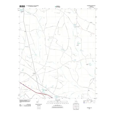
2011 Map of Denmark
USGS Topo · Published 2011About this map
The settlement of Denmark serves as a central point in this Bulloch County landscape, where agriculture and water management define the local geography. Numerous private impoundments, such as Quattlebaum Pond, Crombley Pond, and Trapnell Pond, dot the drainages of Lower Black Creek and Upper Black Creek, illustrating the importance of water storage for local land use. Smaller communities like Emit and Truckers are connected by a network of rural roads, including Brooklet Denmark Rd and Railroad Bed Rd, the latter of which hints at former transportation corridors that once shaped the region's economy. Genealogists and local researchers will find value in the location of the Anderson Cemetery and historic crossing points such as Birds Bridge over Reed Branch and the Eb Lee Ford on the eastern edge of the survey area, near the headwaters of Luke Swamp.
Find a feature on this map
75 named features on this map. Tap any name to fly to it.
Don’t see what you’re looking for? This feature index may not catch every label — zoom into the map to look around manually.
Map Details
Editions of this 2011 Denmark Map
This is the sole edition of this map. No revisions or reprints were ever made.
Other maps of this area

1919 · Claxton
USGS Topo · 1:62,500

1920 · Pembroke
USGS Topo · 1:62,500

1920 · Statesboro
USGS Topo · 1:62,500

1921 · Brooklet
USGS Topo · 1:62,500

1943 · Brooklet
USGS Topo · 1:62,500

1943 · Statesboro
USGS Topo · 1:62,500

1944 · Claxton
USGS Topo · 1:62,500

1947 · Savannah
USGS Topo · 1:250,000

1948 · Savannah
USGS Topo · 1:250,000

1948 · Pembroke
USGS Topo · 1:62,500