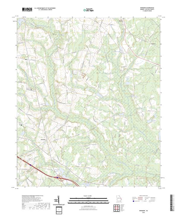
2024 Map of Denmark
USGS Topo · Published 2024About this map
Brooklet anchor this Bulloch County landscape, where the coastal plain topography is defined by the winding course of Lower Black Creek and its various tributaries. The settlement of Denmark sits at a crossroads in the southern portion of the sheet, while Emit occupies the northwestern corner. The area is characterized by a dense network of country roads and family-named routes such as Bella Terra Rd and Jeni Wright Ln.
Find a feature on this map
94 named features on this map. Tap any name to fly to it.
Don’t see what you’re looking for? This feature index may not catch every label — zoom into the map to look around manually.
Map Details
Editions of this 2024 Denmark Map
This is the sole edition of this map. No revisions or reprints were ever made.
Other maps of this area

1919 · Claxton
USGS Topo · 1:62,500

1920 · Pembroke
USGS Topo · 1:62,500

1920 · Statesboro
USGS Topo · 1:62,500

1921 · Brooklet
USGS Topo · 1:62,500

1943 · Brooklet
USGS Topo · 1:62,500

1943 · Statesboro
USGS Topo · 1:62,500

1944 · Claxton
USGS Topo · 1:62,500

1947 · Savannah
USGS Topo · 1:250,000

1948 · Savannah
USGS Topo · 1:250,000

1948 · Pembroke
USGS Topo · 1:62,500