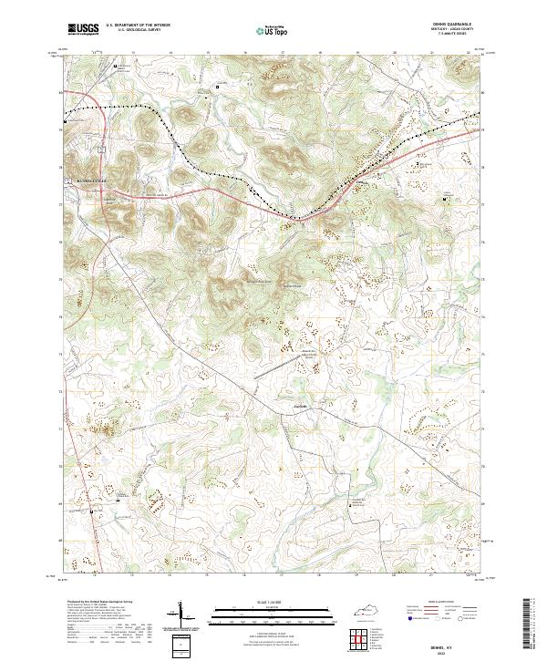
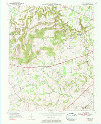
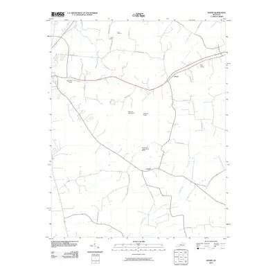
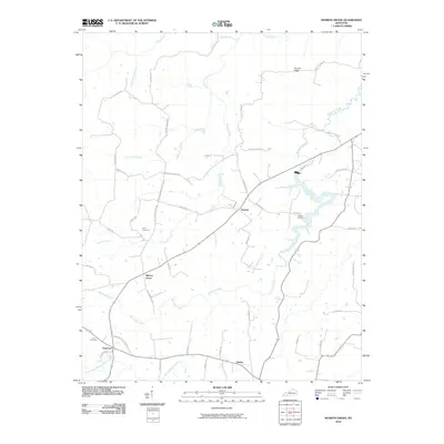
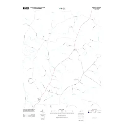
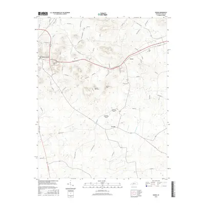
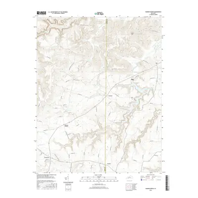
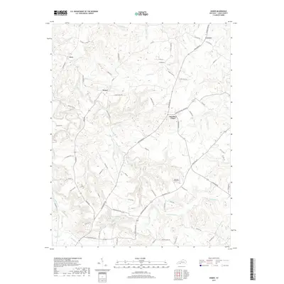
2022 Map of Dennis
USGS Topo · Published 2022About this map
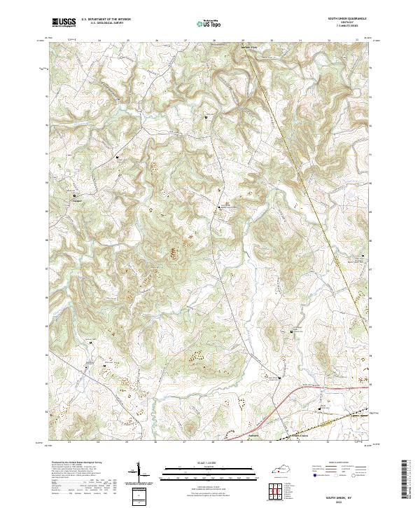
The Russellville area and its eastern rural landscapes are defined by the winding course of the Mud River and numerous family-held cemeteries. This Logan County terrain is punctuated by distinctive landforms such as Sugarloaf Knob, Rainbow Rock Knob, and Buzzard Knob, which overlook the scattered settlements of Dennis and Corinth. The map reveals a high density of burial grounds essential for genealogical research, including the Stephen Fuqua Cem, Lewis-Bibb Cem, and First General Baptist Church Cem. Transportation infrastructure is centered around the Russellville-Logan County Airport and the convergence of regional routes like Bowling Green RD and Franklin RD. Riparian features such as Pleasant Run and Little Whippoorwill Cr further delineate the local geography, providing a clear picture of the land divisions and community hubs established throughout the region.
Find a feature on this map
85 named features on this map. Tap any name to fly to it.
Don’t see what you’re looking for? This feature index may not catch every label — zoom into the map to look around manually.
Map Details
Editions of this 2022 Dennis Map
This is the sole edition of this map. No revisions or reprints were ever made.
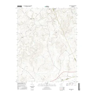
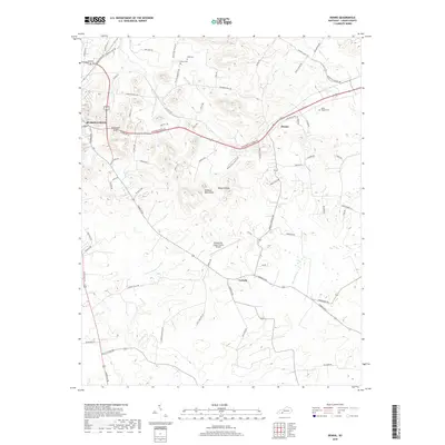
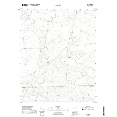
Historical Maps of Russellville Through Time
37 maps found
1950 Olmstead
Logan County, KY
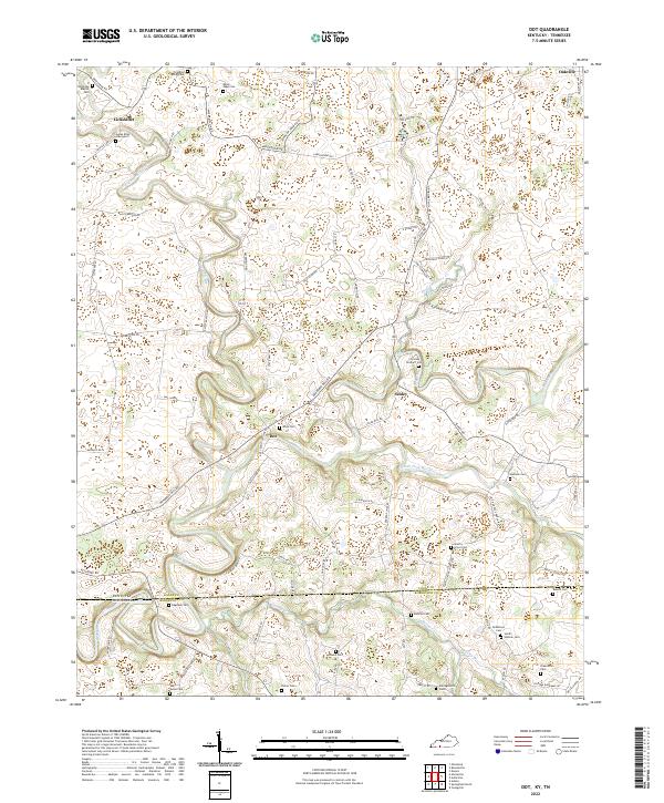
1951 Dot
Logan County, KY
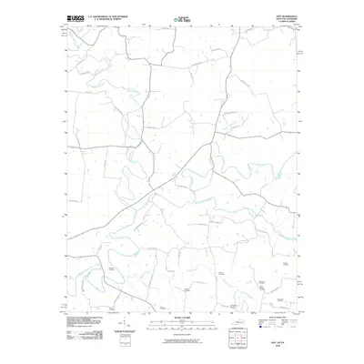
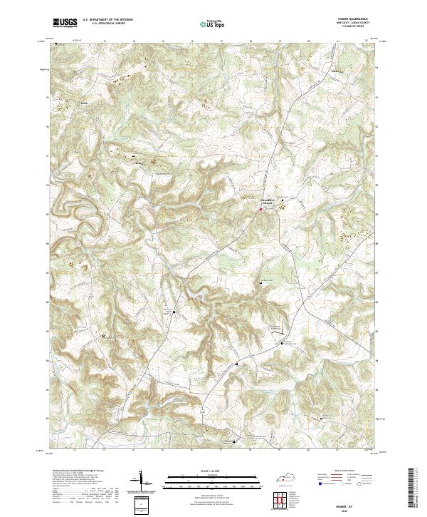
1951 Homer
Logan County, KY
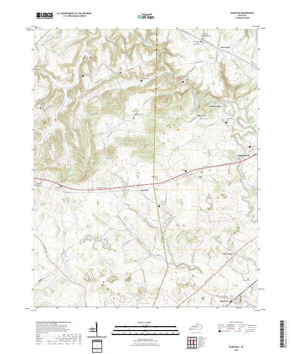
1951 Olmstead
Logan County, KY
1951 South Union
Logan County, KY
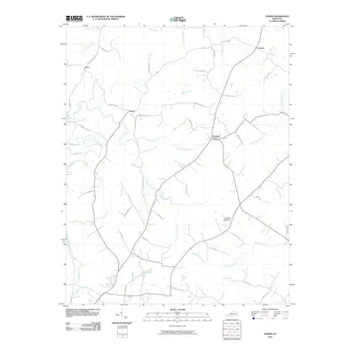
1952 Dennis
Logan County, KY
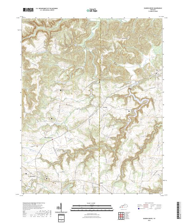
1952 Sharon Grove
Logan County, KY
2010 Dennis
Logan County, KY
2010 Dot
Logan County, KY
2010 Homer
Logan County, KY
2010 Olmstead
Logan County, KY
2010 Sharon Grove
Logan County, KY
2010 South Union
Logan County, KY
2013 Dennis
Logan County, KY
2013 Dot
Logan County, KY
2013 Homer
Logan County, KY
2013 Olmstead
Logan County, KY
2013 Sharon Grove
Logan County, KY
2013 South Union
Logan County, KY
2016 Dennis
Logan County, KY
2016 Dot
Logan County, KY
2016 Homer
Logan County, KY
2016 Olmstead
Logan County, KY
2016 Sharon Grove
Logan County, KY
2016 South Union
Logan County, KY
2019 Dennis
Logan County, KY
2019 Dot
Logan County, KY
2019 Homer
Logan County, KY
2019 Olmstead
Logan County, KY
2019 Sharon Grove
Logan County, KY
2019 South Union
Logan County, KY
2022 Dennis
Logan County, KY
2022 Dot
Logan County, KY
2022 Homer
Logan County, KY
2022 Olmstead
Logan County, KY
2022 Sharon Grove
Logan County, KY
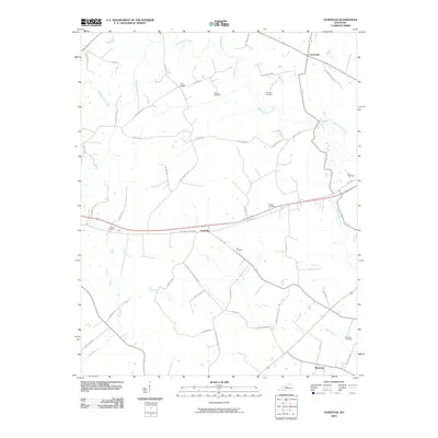
2022 South Union
Logan County, KY