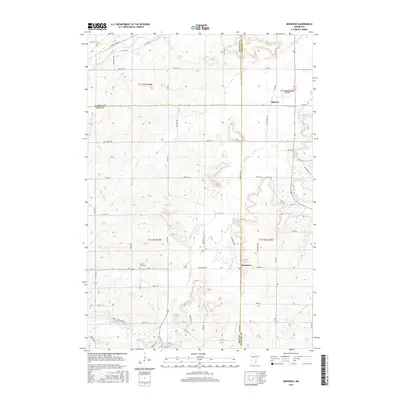
2016 Map of Dennison
USGS Topo · Published 2016About this map
Stanton and Dennison anchor this survey of the agrarian borderlands where Rice, Dakota, and Goodhue Counties meet. The landscape is defined by the Cannon River cutting through the northwestern corner and the winding course of Prairie Cr and Spring Cr across the central and southern plains. This area maintains a distinct rural character, with the grid-like road network connecting family homesteads and local landmarks such as the Prairie Creek Cem. The presence of the Stanton Airfield northeast of the namesake settlement highlights the importance of local aviation in this part of Minnesota. The map provides a precise look at the township boundaries and the numerous named roads, such as Sciota Trl and High Prairie Trl, that traverse the rolling terrain and connect these small agricultural communities.
Find a feature on this map
58 named features on this map. Tap any name to fly to it.
Don’t see what you’re looking for? This feature index may not catch every label — zoom into the map to look around manually.
Map Details
Editions of this 2016 Dennison Map
This is the sole edition of this map. No revisions or reprints were ever made.
Other maps of this area

1953 · Saint Paul
USGS Topo · 1:250,000

1957 · Farmington
USGS Topo · 1:62,500

1957 · Hastings
USGS Topo · 1:62,500

1959 · Saint Paul
USGS Topo · 1:250,000

1960 · Northfield
USGS Topo · 1:24,000

1960 · Cannon City
USGS Topo · 1:24,000

1960 · Dennison
USGS Topo · 1:24,000

1960 · Nerstrand
USGS Topo · 1:24,000

1968 · Kenyon
USGS Topo · 1:24,000

1968 · Sogn
USGS Topo · 1:24,000