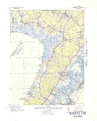
1941 Map of Dennisville
USGS Topo · Published 1941About this map
Belleplain State Forest and the massive Great Cedar Swamp dominate this early 1940s landscape of Cape May County, illustrating a region defined by its complex wetlands and specialized institutions. The mapping details the central role of the Pennsylvania-Reading Seashore Lines, which connects small interior settlements like Dennisville and Eldora to coastal junctions. Along the eastern shore, the map captures the intricate network of tidal channels including Hereford Inlet and Great Sound, while the western edge fronting Delaware Bay shows remote landings such as Thompson Beach and Moores Beach.
Find a feature on this map
89 named features on this map. Tap any name to fly to it.
Don’t see what you’re looking for? This feature index may not catch every label — zoom into the map to look around manually.
Map Details
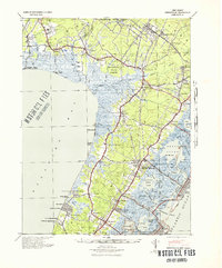
Editions of this 1941 Dennisville Map
2 editions found
Other maps of this area

1884 · Sea Isle
USGS Topo · 1:62,500

1888 · Cape May
USGS Topo · 1:62,500

1888 · Dennisville
USGS Topo · 1:62,500

1888 · Sea Isle
USGS Topo · 1:62,500

1890 · Great Egg Harbor
USGS Topo · 1:62,500

1890 · Tuckahoe
USGS Topo · 1:62,500

1890 · Maurice Cove
USGS Topo · 1:62,500

1890 · Bridgeton
USGS Topo · 1:62,500

1891 · Maurice Cove
USGS Topo · 1:62,500

1893 · Cape May
USGS Topo · 1:62,500
Featured Places
- Lower Township, NJ
- Middle Township, NJ
- Upper Township, NJ
- Villas, Lower Township
- Maurice River Township, NJ