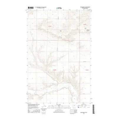
2017 Map of Dent Bridge NE
USGS Topo · Published 2017About this map
The Teton River carves a winding path through the southern reaches of this Chouteau County landscape, defined by a series of dramatic coulees that drain the high prairie. In the northern sections, Dugout Coulee and the branching systems of Dry Fork Coulee and West Dry Fork Coulee illustrate the complex erosional patterns of the Montana plains. The rectilinear grid of early 21st-century rural transit is evidenced by roads such as Beaverslide Rd and Apple School Rd, which follow section lines established by the Public Land Survey System. These routes, including Buck Bridge Rd and Collins Rd, provide access across the high benches between the river valley and the deep-cut ravines, marking a landscape dedicated to large-scale ranching and dryland agriculture near the intersection of several township boundaries.
Find a feature on this map
16 named features on this map. Tap any name to fly to it.
Don’t see what you’re looking for? This feature index may not catch every label — zoom into the map to look around manually.
Map Details
Editions of this 2017 Dent Bridge NE Map
This is the sole edition of this map. No revisions or reprints were ever made.
Other maps of this area

1886 · Great Falls
USGS Topo · 1:250,000

1890 · Fort Benton
USGS Topo · 1:250,000

1892 · Fort Benton
USGS Topo · 1:250,000

1897 · Fort Benton
USGS Topo · 1:250,000

1950 · Dent Bridge
USGS Topo · 1:62,500

1953 · Carter
USGS Topo · 1:24,000

1954 · Great Falls
USGS Topo · 1:250,000

1954 · Shelby
USGS Topo · 1:250,000

1957 · Great Falls
USGS Topo · 1:250,000

1958 · Shelby
USGS Topo · 1:250,000