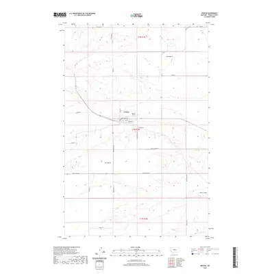
2020 Map of Denton
USGS Topo · Published 2020About this map
Denton serves as the central hub of this Fergus County agricultural landscape, situated at the intersection of Main St and Elevator Rd. The town's layout is defined by its proximity to Wolf Cr, which meanders through the central plains. The surrounding terrain is characterized by expansive elevated flats, notably Alton Bench to the north and Iowa Bench to the south, separated by the distinct drainage of Pacer Coulee. Local infrastructure is well-defined by a network of rural routes including Benchland Rd and Hoosac Rd. Genealogical interest is anchored at Hillcrest Cem, located just southeast of the town center near the Denton Airport. This survey provides a clear view of the water distribution in the region, from the northern Ox Cr and Smith Cr to the southern Dry Wolf Cr, reflecting the perennial importance of water management in Montana's ranching and farming heartland.
Find a feature on this map
35 named features on this map. Tap any name to fly to it.
Don’t see what you’re looking for? This feature index may not catch every label — zoom into the map to look around manually.
Map Details
Editions of this 2020 Denton Map
This is the sole edition of this map. No revisions or reprints were ever made.
Other maps of this area
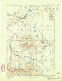
1890 · Fort Benton
USGS Topo · 1:250,000
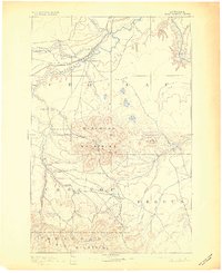
1892 · Fort Benton
USGS Topo · 1:250,000
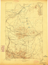
1897 · Fort Benton
USGS Topo · 1:250,000
1954 · Great Falls
USGS Topo · 1:250,000
1954 · Lewistown
USGS Topo · 1:250,000
1957 · Great Falls
USGS Topo · 1:250,000
1959 · Lewistown
USGS Topo · 1:250,000
1970 · Harwood Bench
USGS Topo · 1:24,000
1970 · Big Spring
USGS Topo · 1:24,000
1978 · Stanford NE
USGS Topo · 1:24,000