
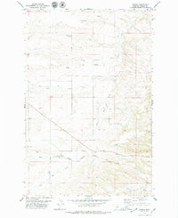
1970 Map of Harwood Bench
USGS Topo · Published 1973About this map
Harwood Bench dominates this central Montana landscape, where the plateau drops away into a complex system of drainages and coulees. Surveyed in 1970, the map illustrates a remote ranching region defined by the erratic paths of Sage Creek and Scotchman Coulee. The boundary between Judith Basin and Fergus counties bisects the terrain, following the section lines across high ridges and deep draws.
Find a feature on this map
12 named features on this map. Tap any name to fly to it.
Don’t see what you’re looking for? This feature index may not catch every label — zoom into the map to look around manually.
Map Details
Editions of this 1970 Harwood Bench Map
This is the sole edition of this map. No revisions or reprints were ever made.
Other maps of this area

1954 · Lewistown
USGS Topo · 1:250,000

1959 · Lewistown
USGS Topo · 1:250,000

1970 · Danvers
USGS Topo · 1:24,000
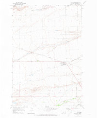
1970 · Moccasin
USGS Topo · 1:24,000
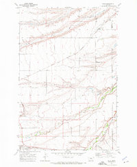
1970 · Kolin
USGS Topo · 1:24,000
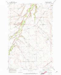
1970 · Ross Fork
USGS Topo · 1:24,000
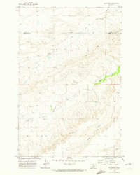
1970 · Big Spring
USGS Topo · 1:24,000

1978 · Toney Bench
USGS Topo · 1:24,000
1978 · Hoosac
USGS Topo · 1:24,000

1978 · Lewistown
USGS Topo · 1:100,000