2024 Map of Denton
USGS Topo · Published 2024About this map
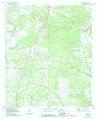
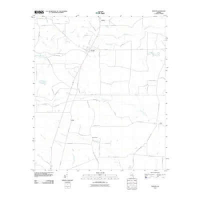
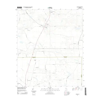
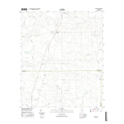
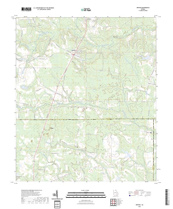
Denton serves as the central hub of this South Georgia landscape, where W Georgia Ave and Alabama St intersect. The terrain is defined by a dense network of slow-moving waterways, including Little Hurricane Creek, Whitehead Creek, and Hog Creek, which carve through the timber and agricultural land of Jeff Davis Co and Coffee Co. To the south, the settlement of Lehigh sits near the crossing of Broxton Rd, while the small community of Brooker occupies the northern reaches of the quadrangle.
Find a feature on this map
66 named features on this map. Tap any name to fly to it.
Don’t see what you’re looking for? This feature index may not catch every label — zoom into the map to look around manually.
Map Details
Editions of this 2024 Denton Map
This is the sole edition of this map. No revisions or reprints were ever made.
Historical Maps of Denton Through Time
6 maps found