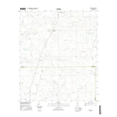
2017 Map of Denton
USGS Topo · Published 2017About this map
Denton serves as the central hub of this South Georgia landscape, where a grid of streets including W Georgia Ave and E Tennessee Ave meets the north-south transit of State Route 135. The area is characterized by a high density of small wetlands and cypress ponds that feed a complex drainage system, notably Whitehead Creek in the north and the meandering Little Hurricane Cr in the south. These waters define the boundaries between the agricultural clearings and timber stands of Jeff Davis and Coffee counties.
Find a feature on this map
60 named features on this map. Tap any name to fly to it.
Don’t see what you’re looking for? This feature index may not catch every label — zoom into the map to look around manually.
Map Details
Editions of this 2017 Denton Map
This is the sole edition of this map. No revisions or reprints were ever made.
Other maps of this area

1953 · Waycross
USGS Topo · 1:250,000

1958 · Waycross
USGS Topo · 1:250,000

1971 · Douglas North
USGS Topo · 1:24,000

1971 · Nicholls NE
USGS Topo · 1:24,000

1971 · Nicholls
USGS Topo · 1:24,000

1971 · Roper
USGS Topo · 1:24,000

1971 · Snipesville
USGS Topo · 1:24,000

1971 · Broxton NE
USGS Topo · 1:24,000

1971 · Hazlehurst South
USGS Topo · 1:24,000

1971 · Sessoms
USGS Topo · 1:24,000