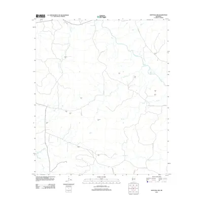
2012 Map of Dentville NW
USGS Topo · Published 2012About this map
Bayou Pierre and its winding tributaries, including Brushy Fork and Horsepen Cr, define the drainage patterns of this rural Copiah County landscape. The settlement of Conn serves as a central point along Hwy 548, surrounded by a high density of family and community burial grounds that reflect the long-standing genealogical heritage of the region.
Find a feature on this map
30 named features on this map. Tap any name to fly to it.
Don’t see what you’re looking for? This feature index may not catch every label — zoom into the map to look around manually.
Map Details
Editions of this 2012 Dentville NW Map
This is the sole edition of this map. No revisions or reprints were ever made.
Other maps of this area

1939 · Yokena
USGS Topo · 1:62,500

1953 · Natchez
USGS Topo · 1:250,000

1955 · Jackson
USGS Topo · 1:250,000

1956 · Natchez
USGS Topo · 1:250,000

1959 · Natchez
USGS Topo · 1:250,000

1961 · Jackson
USGS Topo · 1:250,000

1962 · Jackson
USGS Topo · 1:250,000

1962 · Utica West
USGS Topo · 1:24,000

1963 · Carlisle
USGS Topo · 1:24,000

1963 · Dentville NW
USGS Topo · 1:24,000