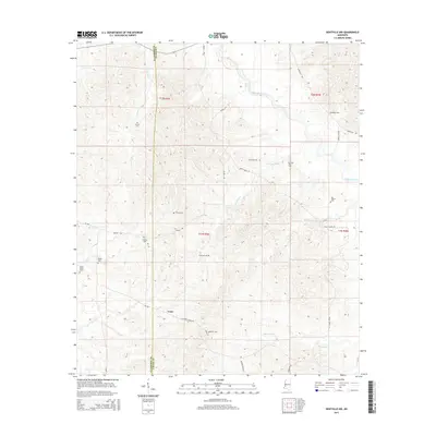
2015 Map of Dentville NW
USGS Topo · Published 2015About this map
Conn sits near the crossing of Old Port Gibson Rd and MS-548, serving as a central point in this rural landscape defined by the drainage systems of Bayou Pierre and its many tributaries. The area is marked by a dense concentration of family and community burial sites, including Little Zion Cem, Pisgah Cem, and Greenlee Cem, which provide significant geographic anchors for genealogical research in this part of Mississippi. The terrain is intricately carved by Brushy Fork, Bell Br, and Horsepen Cr, illustrating the complex network of creeks that influenced local road placement and early property boundaries. From the Claiborne Co Copiah Co border to the winding path of Shelby Rd, the map highlights the enduring rural character of these southern counties through their namesake landmarks like Vaughn Cem and Grant Cem.
Find a feature on this map
32 named features on this map. Tap any name to fly to it.
Don’t see what you’re looking for? This feature index may not catch every label — zoom into the map to look around manually.
Map Details
Editions of this 2015 Dentville NW Map
This is the sole edition of this map. No revisions or reprints were ever made.
Other maps of this area

1939 · Yokena
USGS Topo · 1:62,500

1953 · Natchez
USGS Topo · 1:250,000

1955 · Jackson
USGS Topo · 1:250,000

1956 · Natchez
USGS Topo · 1:250,000

1959 · Natchez
USGS Topo · 1:250,000

1961 · Jackson
USGS Topo · 1:250,000

1962 · Jackson
USGS Topo · 1:250,000

1962 · Utica West
USGS Topo · 1:24,000

1963 · Carlisle
USGS Topo · 1:24,000

1963 · Dentville NW
USGS Topo · 1:24,000