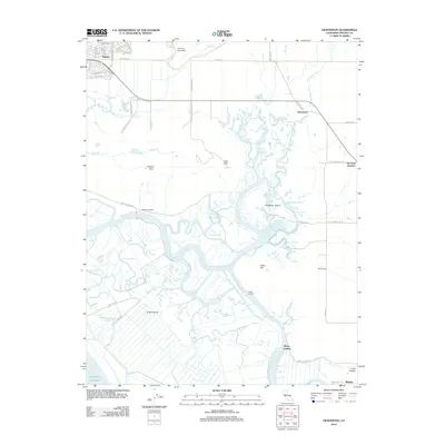
2012 Map of Denverton
USGS Topo · Published 2012About this map
Travis Air Force Base occupies the northern reaches of this Solano County landscape, where the urban edge of Fairfield meets the expansive marshes of the Sacramento-San Joaquin River Delta. The transition from terrestrial to aquatic environments is marked by the Potrero Hills and Luco Hill, which rise above a complex network of waterways including Montezuma Slough and Nurse Slough. This region is defined by its historic landings—Beldons Landing, Lingos Landing, and Meins Landing—remnants of a water-based transport system that served the local ranching and agricultural economy long before modern roads like Petersen Rd or Creed Rd dominated the area.
Find a feature on this map
59 named features on this map. Tap any name to fly to it.
Don’t see what you’re looking for? This feature index may not catch every label — zoom into the map to look around manually.
Map Details
Editions of this 2012 Denverton Map
This is the sole edition of this map. No revisions or reprints were ever made.
Other maps of this area

1896 · Carquinez Strait
USGS Topo · 1:62,500

1898 · Karquines
USGS Topo · 1:62,500

1901 · Karquines
USGS Topo · 1:62,500

1902 · Napa
USGS Topo · 1:125,000

1907 · Antioch
USGS Topo · 1:62,500

1908 · Vacaville
USGS Topo · 1:62,500

1908 · Antioch
USGS Topo · 1:62,500

1916 · Maine Prairie
USGS Topo · 1:31,680

1917 · Elmira
USGS Topo · 1:31,680

1918 · Honker Bay
USGS Topo · 1:31,680