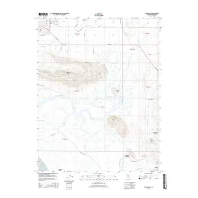
2015 Map of Denverton
USGS Topo · Published 2015About this map
Montezuma Slough and its intricate network of waterways dominate this portion of the Sacramento Valley, where the marshlands of the Delta meet the rising ground of the Potrero Hills and Montezuma Hills. The settlement of Denverton sits at the junction of Denverton Creek and Rio Vista Rd, marking a historic point of transition from the open waters of Little Honker Bay to the inland agricultural plains. To the south, Meins Landing and Molena represent small hubs along the slough's edge, critical for local transport in an era when water access dictated the placement of settlements.
Find a feature on this map
61 named features on this map. Tap any name to fly to it.
Don’t see what you’re looking for? This feature index may not catch every label — zoom into the map to look around manually.
Map Details
Editions of this 2015 Denverton Map
This is the sole edition of this map. No revisions or reprints were ever made.
Other maps of this area

1896 · Carquinez Strait
USGS Topo · 1:62,500

1898 · Karquines
USGS Topo · 1:62,500

1901 · Karquines
USGS Topo · 1:62,500

1902 · Napa
USGS Topo · 1:125,000

1907 · Antioch
USGS Topo · 1:62,500

1908 · Vacaville
USGS Topo · 1:62,500

1908 · Antioch
USGS Topo · 1:62,500

1916 · Maine Prairie
USGS Topo · 1:31,680

1917 · Elmira
USGS Topo · 1:31,680

1918 · Honker Bay
USGS Topo · 1:31,680