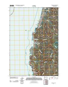
2011 Map of Depoe Bay
USGS Topo · Published 2011About this map
The central Oregon coast at Depoe Bay is defined by its dramatic geological formations and small shoreline communities. This 2011 survey illustrates the coastal development along U.S. Route 101, connecting Coronado Shores, Lincoln Beach, and Pacific Palisades. The landscape is marked by prominent marine features such as Cape Foulweather, Otter Crest, and Fishing Rock, which overlook the Pacific Ocean. Further inland, the map traces the drainages of North Depoe Bay Creek and the Siletz River, showing the transition from the rocky shoreline to the forested uplands of Siletz Hill.
Find a feature on this map
37 named features on this map. Tap any name to fly to it.
Don’t see what you’re looking for? This feature index may not catch every label — zoom into the map to look around manually.
Map Details
Editions of this 2011 Depoe Bay Map
This is the sole edition of this map. No revisions or reprints were ever made.
Other maps of this area

1941 · Cape Foulweather
USGS Topo · 1:62,500

1942 · Euchre Mtn
USGS Topo · 1:62,500

1942 · Yaquina
USGS Topo · 1:62,500

1942 · Toledo
USGS Topo · 1:62,500

1943 · Euchre Mtn
USGS Topo · 1:62,500

1944 · Cape Foulweather
USGS Topo · 1:62,500

1953 · Salem
USGS Topo · 1:250,000

1954 · Salem
USGS Topo · 1:250,000

1957 · Cape Foulweather
USGS Topo · 1:62,500

1957 · Yaquina
USGS Topo · 1:62,500