
1957 Map of Yaquina
USGS Topo · Published 1958About this map
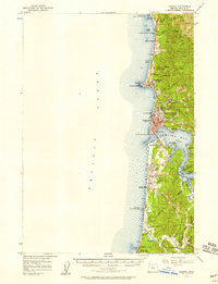
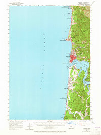
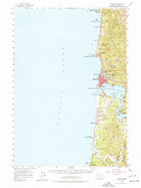
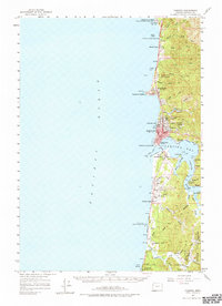
Yaquina Head serves as a prominent maritime landmark on this mid-century survey of the Oregon coast, which captures the development of Newport and its surrounding communities. The map details the intricate geography of Yaquina Bay and the Yaquina River, where small riverfront settlements like Oysterville and Winant are documented alongside Oneatta Point. The coastal landscape is shaped by the Oregon Coast Highway, connecting recreation areas like Beverly Beach State Park and Devils Punch Bowl State Park with the urban center. Inland, the map reveals the transition from coastal bluffs to the deep drainages of the Siuslaw National Forest. Researchers can trace the infrastructure of the era through the Newport Airport, a drive-in theater at Southbeach, and the Coast Guard Station near the bay entrance, illustrating a period of significant growth in commerce and tourism.
Find a feature on this map
68 named features on this map. Tap any name to fly to it.
Don’t see what you’re looking for? This feature index may not catch every label — zoom into the map to look around manually.
Map Details
Editions of this 1957 Yaquina Map
5 editions found
Other maps of this area

1922 · Waldport
USGS Topo · 1:62,500

1941 · Cape Foulweather
USGS Topo · 1:62,500

1942 · Euchre Mtn
USGS Topo · 1:62,500

1942 · Waldport
USGS Topo · 1:62,500

1942 · Yaquina
USGS Topo · 1:62,500

1942 · Tidewater
USGS Topo · 1:62,500

1942 · Toledo
USGS Topo · 1:62,500

1943 · Euchre Mtn
USGS Topo · 1:62,500

1944 · Cape Foulweather
USGS Topo · 1:62,500

1953 · Salem
USGS Topo · 1:250,000