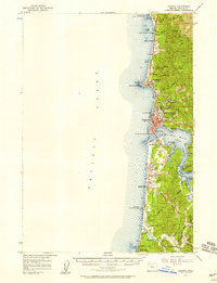
1957 Map of Yaquina
USGS Topo · Published 1958About this map
Newport and its surrounding coastal communities are captured here in the mid-1950s, a period when the timber and maritime economy of Lincoln County was well-established. The map shows the significant development around Yaquina Bay, featuring the Coast Guard Station and the industrial activity near Winant and Oysterville along the Yaquina River. The importance of coastal navigation and safety is evidenced by the Yaquina Head Lighthouse and the Newport Airport with its VOR Omni Beacon. Civil infrastructure like the Newport Reservoir and the Coast Highway link the scattered settlements from Otter Rock in the north to Seal Rock in the south. This survey highlights a landscape where leisure and industry meet, showing several state parks alongside Gravel Pits and the local Lincoln Grange, reflecting the daily life of Oregon's central coast during this era.
Find a feature on this map
64 named features on this map. Tap any name to fly to it.
Don’t see what you’re looking for? This feature index may not catch every label — zoom into the map to look around manually.
Map Details
Editions of this 1957 Yaquina Map
5 editions found

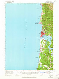
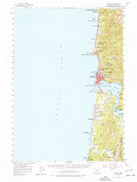
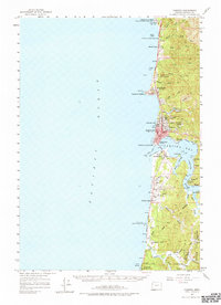
Other maps of this area

1922 · Waldport
USGS Topo · 1:62,500

1941 · Cape Foulweather
USGS Topo · 1:62,500

1942 · Euchre Mtn
USGS Topo · 1:62,500

1942 · Waldport
USGS Topo · 1:62,500

1942 · Yaquina
USGS Topo · 1:62,500

1942 · Tidewater
USGS Topo · 1:62,500

1942 · Toledo
USGS Topo · 1:62,500

1943 · Euchre Mtn
USGS Topo · 1:62,500

1944 · Cape Foulweather
USGS Topo · 1:62,500

1953 · Salem
USGS Topo · 1:250,000