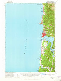
1957 Map of Yaquina
USGS Topo · Published 1965About this map
Yaquina Bay and the coastal town of Newport serve as the focal points of this mid-century survey of the Oregon coastline. The map records the area just as post-war development and automotive tourism were reshaping the region, evidenced by the prominent Coast Highway and a series of recreation sites like Beverly Beach State Park and Yaquina Bay State Park. The waterfront is detailed with marine infrastructure, including a Coast Guard Station, while the interior shows the rugged transition into the Siuslaw National Forest.
Find a feature on this map
77 named features on this map. Tap any name to fly to it.
Don’t see what you’re looking for? This feature index may not catch every label — zoom into the map to look around manually.
Map Details
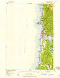
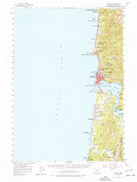
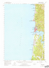
Editions of this 1957 Yaquina Map
5 editions found

Other maps of this area

1922 · Waldport
USGS Topo · 1:62,500

1941 · Cape Foulweather
USGS Topo · 1:62,500

1942 · Euchre Mtn
USGS Topo · 1:62,500

1942 · Waldport
USGS Topo · 1:62,500

1942 · Yaquina
USGS Topo · 1:62,500

1942 · Tidewater
USGS Topo · 1:62,500

1942 · Toledo
USGS Topo · 1:62,500

1943 · Euchre Mtn
USGS Topo · 1:62,500

1944 · Cape Foulweather
USGS Topo · 1:62,500

1953 · Salem
USGS Topo · 1:250,000