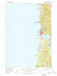
1957 Map of Yaquina
USGS Topo · Published 1977About this map
Newport and the central Oregon coast are captured here following a 1952 aerial revision of the terrain. The bustling maritime character of the region is evident in the presence of the Coast Guard Station and the Lighthouse standing at Yaquina Head. Across the waters of Yaquina Bay, the topography reveals a landscape of tidal mudflats and sloughs, including King Slough and McCafery Slough, where the riverside settlements of Oysterville and Winant speak to the local aquaculture and river-based industry of the mid-20th century.
Find a feature on this map
62 named features on this map. Tap any name to fly to it.
Don’t see what you’re looking for? This feature index may not catch every label — zoom into the map to look around manually.
Map Details
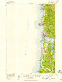
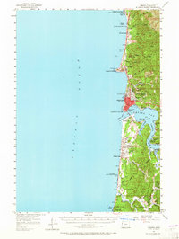
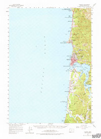
Editions of this 1957 Yaquina Map
5 editions found

Other maps of this area

1922 · Waldport
USGS Topo · 1:62,500

1941 · Cape Foulweather
USGS Topo · 1:62,500

1942 · Euchre Mtn
USGS Topo · 1:62,500

1942 · Waldport
USGS Topo · 1:62,500

1942 · Yaquina
USGS Topo · 1:62,500

1942 · Tidewater
USGS Topo · 1:62,500

1942 · Toledo
USGS Topo · 1:62,500

1943 · Euchre Mtn
USGS Topo · 1:62,500

1944 · Cape Foulweather
USGS Topo · 1:62,500

1953 · Salem
USGS Topo · 1:250,000