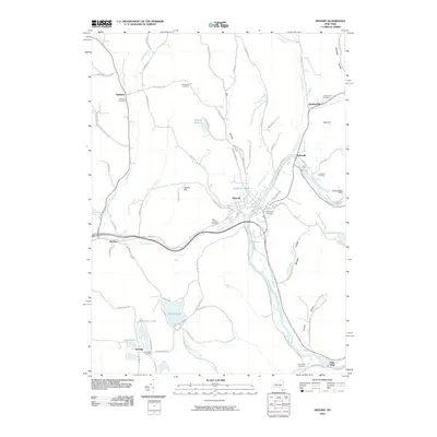
2010 Map of Deposit
USGS Topo · Published 2010About this map
The West Branch Delaware River carves a deep valley through this Broome County landscape, serving as the primary geographic corridor for the village of Deposit. This 2010 survey shows a region defined by its water resources and narrow valleys, from the managed flow at the Cannonsville Dam to the recreational clusters surrounding Oquaga Lake, Laurel Lake, and Blueberry Lake in the southwest. The distribution of small hamlets like Stilesville and Hale Eddy reflects the historical importance of the river and rail path along the valley floor.
Find a feature on this map
81 named features on this map. Tap any name to fly to it.
Don’t see what you’re looking for? This feature index may not catch every label — zoom into the map to look around manually.
Map Details
Editions of this 2010 Deposit Map
This is the sole edition of this map. No revisions or reprints were ever made.
Other maps of this area

1905 · Nineveh
USGS Topo · 1:62,500

1924 · Starrucca
USGS Topo · 1:48,000

1924 · Deposit
USGS Topo · 1:62,500

1926 · Deposit
USGS Topo · 1:62,500

1926 · Starrucca
USGS Topo · 1:62,500

1930 · Starrucca
USGS Topo · 1:48,000

1932 · Susquehanna
USGS Topo · 1:62,500

1933 · Starrucca
USGS Topo · 1:62,500

1935 · Susquehanna
USGS Topo · 1:62,500

1943 · Honesdale
USGS Topo · 1:125,000