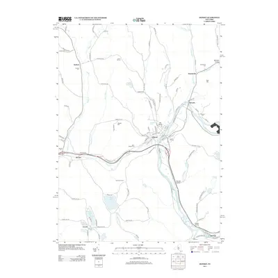
2013 Map of Deposit
USGS Topo · Published 2013About this map
The West Br Delaware River and Oquaga Cr converge near the village of Deposit, anchoring a landscape defined by narrow valleys and upland ridges. This 2013 survey reveals the persistent settlement patterns of eastern Broome County, where historic hamlets like Stilesville, Hambletville, and McClure are linked by the winding path of Old Route 17. The terrain is marked by numerous family-named landmarks and hollows, including Loomis Hill, Tarbell Hill, and Big Hollow.
Find a feature on this map
113 named features on this map. Tap any name to fly to it.
Don’t see what you’re looking for? This feature index may not catch every label — zoom into the map to look around manually.
Map Details
Editions of this 2013 Deposit Map
This is the sole edition of this map. No revisions or reprints were ever made.
Other maps of this area

1905 · Nineveh
USGS Topo · 1:62,500

1924 · Starrucca
USGS Topo · 1:48,000

1924 · Deposit
USGS Topo · 1:62,500

1926 · Deposit
USGS Topo · 1:62,500

1926 · Starrucca
USGS Topo · 1:62,500

1930 · Starrucca
USGS Topo · 1:48,000

1932 · Susquehanna
USGS Topo · 1:62,500

1933 · Starrucca
USGS Topo · 1:62,500

1935 · Susquehanna
USGS Topo · 1:62,500

1943 · Honesdale
USGS Topo · 1:125,000