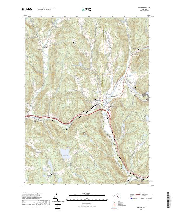
2023 Map of Deposit
USGS Topo · Published 2023About this map
Deposit sits at a geographic crossroads where the West Branch Delaware River bends south, marking the border between Broome and Delaware counties. The town serves as a hub for the surrounding valley, with historical settlement patterns radiating out toward McClure and Hambletville. The landscape is defined by significant water bodies, including Oquaga Lake, Laurel Lake, and the high-elevation Deposit Reservoir. Numerous burial grounds are preserved across the terrain, from Pine Grove Cem in town to rural locations like Loomis Hill Cem and Hale Eddy Cem. The topography is etched with deep hollows such as Big Hollow and McCabe Hollow, while Oquaga Creek cuts through the western hills, following the path of ancient trade and travel routes through this corner of New York.
Find a feature on this map
108 named features on this map. Tap any name to fly to it.
Don’t see what you’re looking for? This feature index may not catch every label — zoom into the map to look around manually.
Map Details
Editions of this 2023 Deposit Map
This is the sole edition of this map. No revisions or reprints were ever made.
Other maps of this area

1905 · Nineveh
USGS Topo · 1:62,500

1924 · Starrucca
USGS Topo · 1:48,000

1924 · Deposit
USGS Topo · 1:62,500

1926 · Deposit
USGS Topo · 1:62,500

1926 · Starrucca
USGS Topo · 1:62,500

1930 · Starrucca
USGS Topo · 1:48,000

1932 · Susquehanna
USGS Topo · 1:62,500

1933 · Starrucca
USGS Topo · 1:62,500

1935 · Susquehanna
USGS Topo · 1:62,500

1943 · Honesdale
USGS Topo · 1:125,000