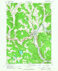
1965 Map of Deposit
USGS Topo · Published 1967About this map
The village of Deposit serves as a central hub on the Broome and Delaware County line, positioned at the confluence of Oquaga Creek and the West Branch Delaware River. This mid-1960s survey captures the landscape just after the creation of the Cannonsville Reservoir, with the Cannonsville Dam marking a significant transformation of the river valley. The Erie Lackawanna Railroad follows the river's curve through the valley, passing near industrial sites like the Sand and Gravel Pit and numerous quarries that characterize the local economy.
Find a feature on this map
65 named features on this map. Tap any name to fly to it.
Don’t see what you’re looking for? This feature index may not catch every label — zoom into the map to look around manually.
Map Details
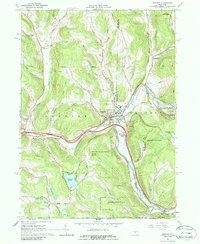
Editions of this 1965 Deposit Map
2 editions found
Other maps of this area

1905 · Nineveh
USGS Topo · 1:62,500

1924 · Starrucca
USGS Topo · 1:48,000

1924 · Deposit
USGS Topo · 1:62,500

1926 · Deposit
USGS Topo · 1:62,500

1926 · Starrucca
USGS Topo · 1:62,500

1930 · Starrucca
USGS Topo · 1:48,000

1932 · Susquehanna
USGS Topo · 1:62,500

1933 · Starrucca
USGS Topo · 1:62,500

1935 · Susquehanna
USGS Topo · 1:62,500

1943 · Honesdale
USGS Topo · 1:125,000