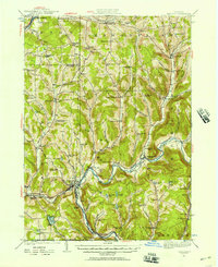
1924 Map of Deposit
USGS Topo · Published 1957About this map
The West Branch Delaware River carves through this Southern Tier landscape, anchoring several valley communities before they were altered by later twentieth-century water management projects. Deposit serves as a primary hub where the Erie RR parallels the river, while smaller hamlets like Cannonsville, Rock Royal, and Stilesville dot the fertile lowlands. The survey reveals a dense network of early rural education, featuring uniquely named institutions such as the Slow and Easy School, Hungry Hollow School, and Steam Mill School.
Find a feature on this map
107 named features on this map. Tap any name to fly to it.
Don’t see what you’re looking for? This feature index may not catch every label — zoom into the map to look around manually.
Map Details
Editions of this 1924 Deposit Map
This is the sole edition of this map. No revisions or reprints were ever made.
Other maps of this area
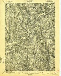
1902 · Coventry
USGS Topo · 1:62,500
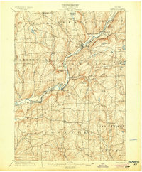
1904 · Oxford
USGS Topo · 1:62,500
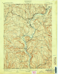
1905 · Nineveh
USGS Topo · 1:62,500
1915 · Oneonta
USGS Topo · 1:62,500
1915 · Unadilla
USGS Topo · 1:62,500
1918 · Unadilla
USGS Topo · 1:62,500
1918 · Oneonta
USGS Topo · 1:62,500
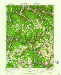
1920 · Long Eddy
USGS Topo · 1:62,500
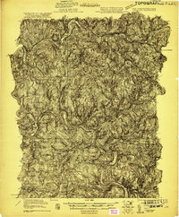
1921 · Long Eddy
USGS Topo · 1:48,000
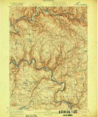
1923 · Long Eddy
USGS Topo · 1:62,500