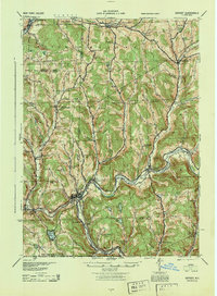
1944 Map of Deposit
USGS Topo · Published 1944About this map
The West Branch Delaware River carves a deep path through this Catskill foothills landscape, serving as the primary corridor for both the Erie RR and the village of Deposit. This 1944 Army Map Service edition, based on earlier surveys and updated with 1943 aerial photography, documents a network of rural school districts and small hamlets before mid-century changes. Settlements such as Cannonsville, Rock Royal, and Trout Creek are shown in detail, connected by winding valley roads and numerous creek-side schools like Johnny Brook Sch and Dry Brook Sch.
Find a feature on this map
85 named features on this map. Tap any name to fly to it.
Don’t see what you’re looking for? This feature index may not catch every label — zoom into the map to look around manually.
Map Details
Editions of this 1944 Deposit Map
This is the sole edition of this map. No revisions or reprints were ever made.
Other maps of this area
1902 · Coventry
USGS Topo · 1:62,500
1904 · Oxford
USGS Topo · 1:62,500
1905 · Nineveh
USGS Topo · 1:62,500
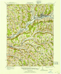
1915 · Oneonta
USGS Topo · 1:62,500
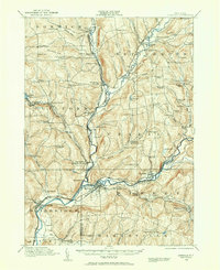
1915 · Unadilla
USGS Topo · 1:62,500
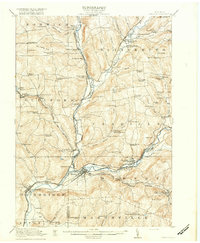
1918 · Unadilla
USGS Topo · 1:62,500
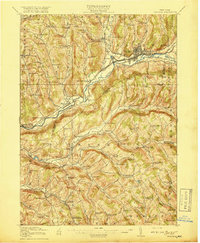
1918 · Oneonta
USGS Topo · 1:62,500
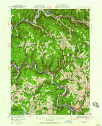
1920 · Long Eddy
USGS Topo · 1:62,500
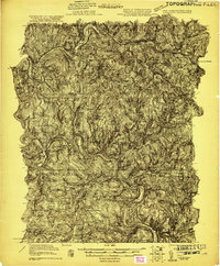
1921 · Long Eddy
USGS Topo · 1:48,000
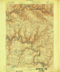
1923 · Long Eddy
USGS Topo · 1:62,500