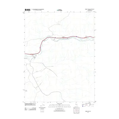
2011 Map of Derby Dam
USGS Topo · Published 2011About this map
Derby Dam anchors this stretch of the Truckee River corridor, a critical point of water diversion in the Nevada landscape. The 2011 topography shows a distinct transition from the traditional river-oriented settlements at Clark and Thisby to modern industrial and infrastructure expansion. The Eagle-Picher Industries Inc Mill and the proximity of the Clarks Post Office indicate a legacy of resource processing and local service, while the development of the USA Pkwy and a network of new roads like Milan Dr and Portofino Dr reveal a shifting land use pattern south of the river. The southern portion of the map is defined by the deep incisions of Post Canyon, contrasting with the engineered landscapes of the Canal Rd and interstate interchanges such as the Orchard Interchange.
Find a feature on this map
24 named features on this map. Tap any name to fly to it.
Don’t see what you’re looking for? This feature index may not catch every label — zoom into the map to look around manually.
Map Details
Editions of this 2011 Derby Dam Map
This is the sole edition of this map. No revisions or reprints were ever made.
Other maps of this area

1890 · Wadsworth
USGS Topo · 1:125,000

1891 · Carson
USGS Topo · 1:125,000

1891 · Wabuska
USGS Topo · 1:125,000

1891 · Reno
USGS Topo · 1:125,000

1892 · Wadsworth
USGS Topo · 1:125,000

1893 · Carson
USGS Topo · 1:125,000

1893 · Reno
USGS Topo · 1:125,000

1894 · Wadsworth
USGS Topo · 1:125,000

1894 · Wabuska
USGS Topo · 1:125,000

1950 · Virginia City
USGS Topo · 1:62,500