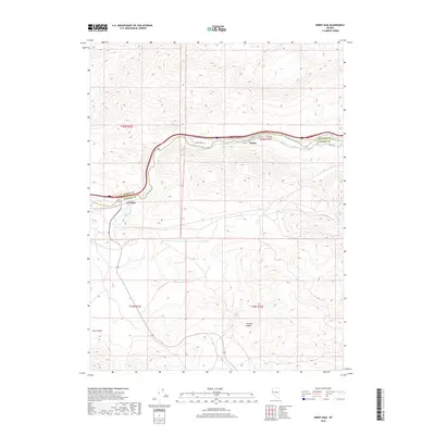
2018 Map of Derby Dam
USGS Topo · Published 2018About this map
Derby Dam serves as a critical focal point along the Truckee River on the border of Washoe and Storey counties. The landscape here is defined by the sharp contrast between the irrigated corridor near the water and the arid elevations of the Virginia Range. Small settlements and railroad stops like Clark and Thisby trace the river valley, following the historic transportation routes through this part of Nevada. The presence of Canal Rd following the northern bank of the river highlights the complex water management systems essential to the region's development. Further south, the topography transitions into the steep drainages of Post Canyon, illustrating the high-desert character of the surrounding basin and range geography.
Find a feature on this map
13 named features on this map. Tap any name to fly to it.
Don’t see what you’re looking for? This feature index may not catch every label — zoom into the map to look around manually.
Map Details
Editions of this 2018 Derby Dam Map
This is the sole edition of this map. No revisions or reprints were ever made.
Other maps of this area

1890 · Wadsworth
USGS Topo · 1:125,000

1891 · Carson
USGS Topo · 1:125,000

1891 · Wabuska
USGS Topo · 1:125,000

1891 · Reno
USGS Topo · 1:125,000

1892 · Wadsworth
USGS Topo · 1:125,000

1893 · Carson
USGS Topo · 1:125,000

1893 · Reno
USGS Topo · 1:125,000

1894 · Wadsworth
USGS Topo · 1:125,000

1894 · Wabuska
USGS Topo · 1:125,000

1950 · Virginia City
USGS Topo · 1:62,500