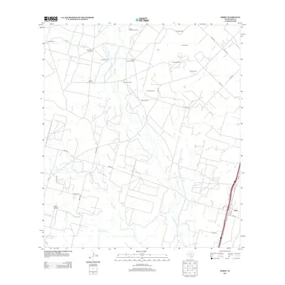
2013 Map of Derby
USGS Topo · Published 2013About this map
The Frio River and Leona River converge in this South Texas landscape, defining a region where water management and energy extraction are central to the terrain. The settlement of Derby sits at the southeastern edge of the map, adjacent to the transportation corridor of Hwy-81. This 2013 survey illustrates the continued importance of livestock and resource infrastructure, evidenced by a dense network of family-named and descriptive water sources such as Honeymoon Windmill, Round Mountain Windmill, and Abispa Windmill.
Find a feature on this map
41 named features on this map. Tap any name to fly to it.
Don’t see what you’re looking for? This feature index may not catch every label — zoom into the map to look around manually.
Map Details
Editions of this 2013 Derby Map
This is the sole edition of this map. No revisions or reprints were ever made.
Other maps of this area

1925 · Pearsall 1-b
USGS Topo · 1:48,000

1925 · Pearsall 1-c
USGS Topo · 1:48,000

1927 · Pearsall
USGS Topo · 1:62,500

1942 · Divot
USGS Topo · 1:62,500

1942 · Dilley
USGS Topo · 1:62,500

1953 · Crystal City
USGS Topo · 1:250,000

1955 · Crystal City
USGS Topo · 1:250,000

1956 · Woodward
USGS Topo · 1:62,500

1956 · Divot
USGS Topo · 1:62,500

1961 · Crystal City
USGS Topo · 1:250,000