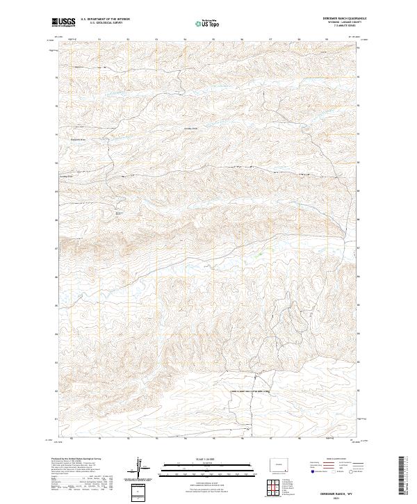
2021 Map of Dereemer Ranch
USGS Topo · Published 2021About this map
Dereemer Ranch sits at the center of this high plains landscape, where complex drainage systems define the character of Laramie County. The map documents a network of seasonal and perennial watercourses that feed into larger regional basins, including the winding Horse Cr and the divided headwaters of the Little Bear Creek system. These waterways, such as the N Br Little Bear Cr and S Fork Little Bear Cr, are flanked by distinct topographical depressions like Gundby Draw and Sheppard Draw.
Find a feature on this map
16 named features on this map. Tap any name to fly to it.
Don’t see what you’re looking for? This feature index may not catch every label — zoom into the map to look around manually.
Map Details
Editions of this 2021 Dereemer Ranch Map
This is the sole edition of this map. No revisions or reprints were ever made.
Other maps of this area

1905 · Sherman
USGS Topo · 1:125,000

1911 · Cheyenne
USGS Topo · 1:125,000

1914 · Cheyenne
USGS Topo · 1:125,000

1954 · Cheyenne
USGS Topo · 1:250,000

1958 · Cheyenne
USGS Topo · 1:250,000

1962 · Horse Creek
USGS Topo · 1:24,000

1962 · Federal
USGS Topo · 1:24,000

1962 · Dereemer Ranch
USGS Topo · 1:24,000

1962 · Farthing
USGS Topo · 1:24,000
1962 · Farthing Ranch
USGS Topo · 1:24,000