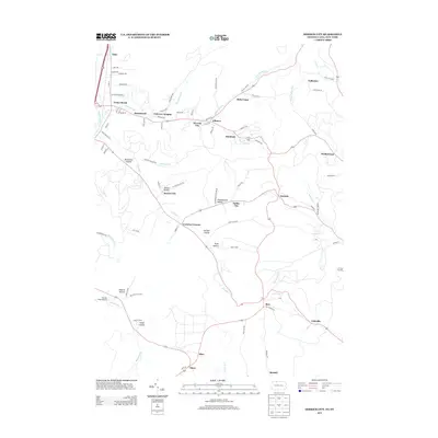
2013 Map of Derrick City
USGS Topo · Published 2013About this map
Derrick City and its surrounding hamlets occupy the narrow valleys of McKean County, defined by the winding course of Foster Brook and Kendall Cr. The settlement pattern here is deeply influenced by the industrial geography of the Pennsylvania oil fields, where small communities like Sawyer City, Dallas City, and Coleville are spaced along creek bottoms and hollows. Local transportation and logistics are centered around Pecora Field Airport and a dense network of secondary roads such as Bells Camp Rd and Kendall Rd that navigate the ridges. From Fairview Heights to Bells Camp, the landscape is a series of named hollows, including Totten Hollow, Garlock Hollow, and Pratt Hollow, which historically dictated the placement of homesteads and infrastructure in this northern Appalachian region near the New York state line.
Find a feature on this map
92 named features on this map. Tap any name to fly to it.
Don’t see what you’re looking for? This feature index may not catch every label — zoom into the map to look around manually.
Map Details
Editions of this 2013 Derrick City Map
This is the sole edition of this map. No revisions or reprints were ever made.
Other maps of this area

1898 · Olean
USGS Topo · 1:62,500

1900 · Salamanca
USGS Topo · 1:62,500

1924 · Bradford
USGS Topo · 1:62,500

1926 · Bradford
USGS Topo · 1:62,500

1933 · Smethport
USGS Topo · 1:62,500

1937 · Smethport
USGS Topo · 1:62,500

1938 · Salamanca
USGS Topo · 1:62,500

1938 · Olean
USGS Topo · 1:62,500

1941 · Bradford
USGS Topo · 1:62,500

1943 · Olean
USGS Topo · 1:62,500