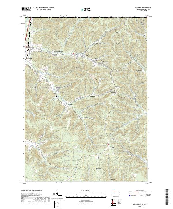
2023 Map of Derrick City
USGS Topo · Published 2023About this map
Derrick City and its surrounding hill country define this detailed study of McKean County. The landscape is characterized by a dense network of deep hollows, including Buchanan Hollow, Totten Hollow, and Garlock Hollow, which dictate the placement of early settlements and roads. Small communities such as Gilmore, Bells Camp, and Fairview Heights sit at the edges of Bradford, while the Sawyer Cem remains a quiet landmark near Sawyer City. The local topography is further shaped by the winding courses of Tuna Creek and Knapp Creek, which have historically influenced the region's transport and industrial corridors. In the southern portion of the map, the settlements of Rew, Coleville, and Bordell highlight the persistent rural character of the area, providing a clear picture of the modern road network and geographic continuity in this part of Pennsylvania.
Find a feature on this map
80 named features on this map. Tap any name to fly to it.
Don’t see what you’re looking for? This feature index may not catch every label — zoom into the map to look around manually.
Map Details
Editions of this 2023 Derrick City Map
This is the sole edition of this map. No revisions or reprints were ever made.
Other maps of this area

1898 · Olean
USGS Topo · 1:62,500

1900 · Salamanca
USGS Topo · 1:62,500

1924 · Bradford
USGS Topo · 1:62,500

1926 · Bradford
USGS Topo · 1:62,500

1933 · Smethport
USGS Topo · 1:62,500

1937 · Smethport
USGS Topo · 1:62,500

1938 · Salamanca
USGS Topo · 1:62,500

1938 · Olean
USGS Topo · 1:62,500

1941 · Bradford
USGS Topo · 1:62,500

1943 · Olean
USGS Topo · 1:62,500