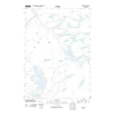
2010 Map of Derrick
USGS Topo · Published 2010About this map
Adirondack Park dominates this 2010 survey of a water-bound interior in Franklin County, defined by an intricate network of interconnected glacial ponds and small drainage basins. The small settlements of Derrick and Floodwood serve as the primary human touchpoints in a landscape otherwise shaped by peaks like Floodwood Mountain and Iron Mountain. The terrain is characterized by its high concentration of named water bodies, including the sprawling Rollins Pond and the uniquely shaped Wolf Pond, which are linked by forest roads and trails such as Floodwood Rd and Lead Pond Rd.
Find a feature on this map
44 named features on this map. Tap any name to fly to it.
Don’t see what you’re looking for? This feature index may not catch every label — zoom into the map to look around manually.
Map Details
Editions of this 2010 Derrick Map
This is the sole edition of this map. No revisions or reprints were ever made.
Other maps of this area

1904 · Long Lake
USGS Topo · 1:62,500

1905 · Saint Regis
USGS Topo · 1:62,500

1907 · Tupper Lake
USGS Topo · 1:62,500

1920 · Childwold
USGS Topo · 1:62,500

1921 · Childwold
USGS Topo · 1:48,000

1922 · Childwold
USGS Topo · 1:62,500

1948 · Ogdensburg
USGS Topo · 1:250,000

1951 · Ogdensburg
USGS Topo · 1:250,000

1953 · Ogdensburg
USGS Topo · 1:250,000

1954 · Tupper Lake
USGS Topo · 1:62,500