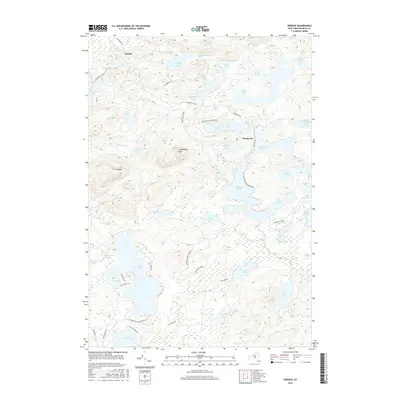
2016 Map of Derrick
USGS Topo · Published 2016About this map
Adirondack Park Preserve lands dominate this portion of Franklin County, characterized by an intricate network of interconnected waterways and isolated peaks. The small settlements of Derrick and Floodwood serve as the primary human outposts in a landscape defined more by water than by roads. Local topography is anchored by the prominent elevations of Floodwood Mtn and Iron Mtn, while the surrounding lowlands are saturated with glacial features like Dry Channel Pond, W Pine Pond, and E Pine Pond. The presence of the Township 19 Club and various localized access roads like E Shore Rd and Windfall Rd suggests a landscape managed for both timber and recreation. This interior wilderness drainage feeds into systems like Windfall Brook and Black Brook, illustrating the complex hydrology that historically supported the region's logging and seasonal sporting camps.
Find a feature on this map
54 named features on this map. Tap any name to fly to it.
Don’t see what you’re looking for? This feature index may not catch every label — zoom into the map to look around manually.
Map Details
Editions of this 2016 Derrick Map
This is the sole edition of this map. No revisions or reprints were ever made.
Other maps of this area

1904 · Long Lake
USGS Topo · 1:62,500

1905 · Saint Regis
USGS Topo · 1:62,500

1907 · Tupper Lake
USGS Topo · 1:62,500

1920 · Childwold
USGS Topo · 1:62,500

1921 · Childwold
USGS Topo · 1:48,000

1922 · Childwold
USGS Topo · 1:62,500

1948 · Ogdensburg
USGS Topo · 1:250,000

1951 · Ogdensburg
USGS Topo · 1:250,000

1953 · Ogdensburg
USGS Topo · 1:250,000

1954 · Tupper Lake
USGS Topo · 1:62,500