
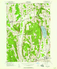
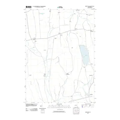
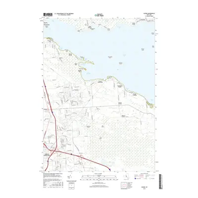
1943 Map of Deruyter
USGS Topo · Published 1990About this map
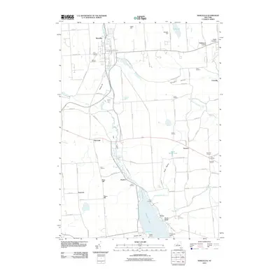
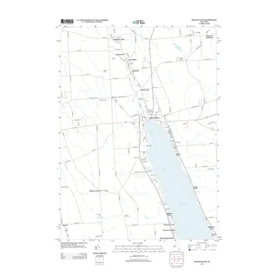
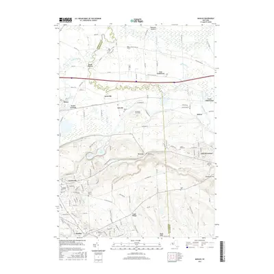
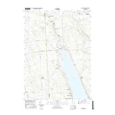
Deruyter Reservoir dominates the eastern landscape of this 1943 survey, bordered by the villages of Fabius and DeRuyter. The mapping, conducted by the Army Map Service during the war years, reveals a rural network of small agricultural hubs such as Vincent Corners, Gooseville Corners, and Cowles Settlement. The local social structure of the era is evident through a high density of rural schoolhouses, from School No 1 to School No 15, serving families in the townships of Pompey and Cuyler.
Find a feature on this map
56 named features on this map. Tap any name to fly to it.
Don’t see what you’re looking for? This feature index may not catch every label — zoom into the map to look around manually.
Map Details
Editions of this 1943 Deruyter Map
4 editions found
Historical Maps of Pompey Through Time
115 maps found

1899 Skaneateles
Onondaga County, NY

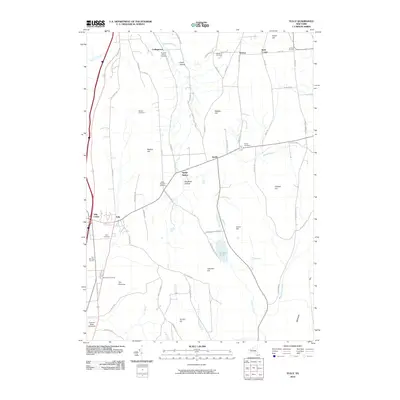
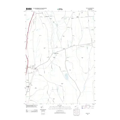
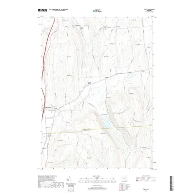
1900 Tully
Onondaga County, NY

1902 Skaneateles
Onondaga County, NY

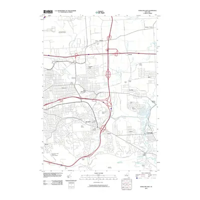
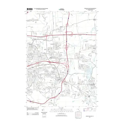
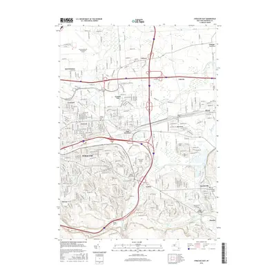
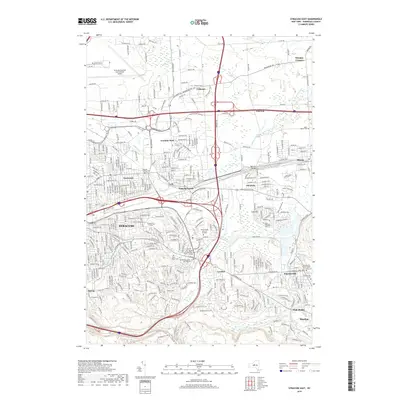
1938 Syracuse East
Onondaga County, NY

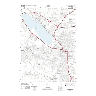
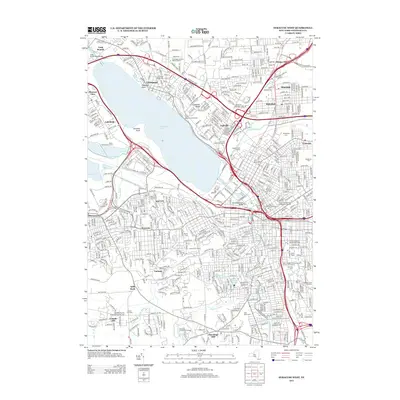
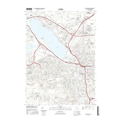
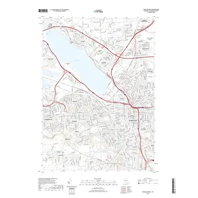
1939 Syracuse West
Onondaga County, NY

1940 Cicero
Onondaga County, NY

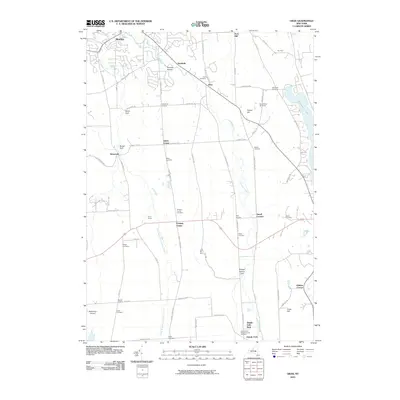
1942 Oran
Onondaga County, NY

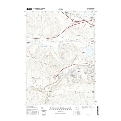
1943 Camillus
Onondaga County, NY
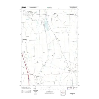
1943 Deruyter
Onondaga County, NY

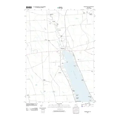
1943 Jamesville
Onondaga County, NY

1943 Lysander
Onondaga County, NY

1943 Manlius
Onondaga County, NY

1943 Marcellus
Onondaga County, NY

1943 Oran
Onondaga County, NY

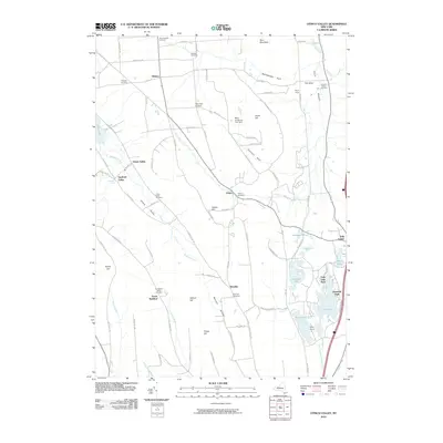
1943 Otisco Valley
Onondaga County, NY

1943 Skaneateles
Onondaga County, NY

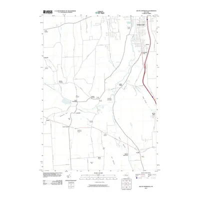
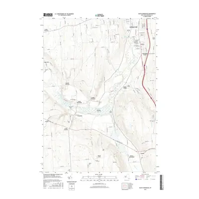
1943 South Onondaga
Onondaga County, NY

1943 Syracuse East
Onondaga County, NY

1943 Tully
Onondaga County, NY

1944 Cicero
Onondaga County, NY

1944 De Ruyter
Onondaga County, NY

1947 Syracuse West
Onondaga County, NY

1949 Jamesville
Onondaga County, NY

1949 Skaneateles
Onondaga County, NY

1955 Camillus
Onondaga County, NY

1955 Jamesville
Onondaga County, NY

1955 Lysander
Onondaga County, NY

1955 Marcellus
Onondaga County, NY

1955 Otisco Valley
Onondaga County, NY

1955 Skaneateles
Onondaga County, NY

1955 Skaneateles
Onondaga County, NY

1955 South Onondaga
Onondaga County, NY

1955 Tully
Onondaga County, NY

1955 Tully
Onondaga County, NY

1957 Cicero
Onondaga County, NY

1957 Manlius
Onondaga County, NY

1957 Syracuse East
Onondaga County, NY

1958 Syracuse West
Onondaga County, NY

1973 Cicero
Onondaga County, NY

1973 Jamesville
Onondaga County, NY

1973 Manlius
Onondaga County, NY

1973 Oran
Onondaga County, NY

1973 South Onondaga
Onondaga County, NY

1973 Syracuse West
Onondaga County, NY

1977 Syracuse East
Onondaga County, NY
2010 Cicero
Onondaga County, NY
2010 DeRuyter
Onondaga County, NY
2010 Jamesville
Onondaga County, NY
2010 Lysander
Onondaga County, NY
2010 Manlius
Onondaga County, NY
2010 Marcellus
Onondaga County, NY
2010 Oran
Onondaga County, NY
2010 Otisco Valley
Onondaga County, NY
2010 Skaneateles
Onondaga County, NY
2010 South Onondaga
Onondaga County, NY
2010 Syracuse East
Onondaga County, NY
2010 Syracuse West
Onondaga County, NY
2010 Tully
Onondaga County, NY
2011 Camillus
Onondaga County, NY
2013 Camillus
Onondaga County, NY
2013 Cicero
Onondaga County, NY
2013 DeRuyter
Onondaga County, NY
2013 Jamesville
Onondaga County, NY
2013 Lysander
Onondaga County, NY
2013 Manlius
Onondaga County, NY
2013 Marcellus
Onondaga County, NY
2013 Oran
Onondaga County, NY
2013 Otisco Valley
Onondaga County, NY
2013 Skaneateles
Onondaga County, NY
2013 South Onondaga
Onondaga County, NY
2013 Syracuse East
Onondaga County, NY
2013 Syracuse West
Onondaga County, NY
2013 Tully
Onondaga County, NY
2016 Camillus
Onondaga County, NY
2016 Cicero
Onondaga County, NY
2016 DeRuyter
Onondaga County, NY
2016 Jamesville
Onondaga County, NY
2016 Lysander
Onondaga County, NY
2016 Manlius
Onondaga County, NY
2016 Marcellus
Onondaga County, NY
2016 Oran
Onondaga County, NY
2016 Otisco Valley
Onondaga County, NY
2016 Skaneateles
Onondaga County, NY
2016 South Onondaga
Onondaga County, NY
2016 Syracuse East
Onondaga County, NY
2016 Syracuse West
Onondaga County, NY
2016 Tully
Onondaga County, NY
2019 Camillus
Onondaga County, NY
2019 Cicero
Onondaga County, NY
2019 DeRuyter
Onondaga County, NY
2019 Jamesville
Onondaga County, NY
2019 Lysander
Onondaga County, NY
2019 Manlius
Onondaga County, NY
2019 Marcellus
Onondaga County, NY
2019 Oran
Onondaga County, NY
2019 Otisco Valley
Onondaga County, NY
2019 Skaneateles
Onondaga County, NY
2019 South Onondaga
Onondaga County, NY
2019 Syracuse East
Onondaga County, NY
2019 Syracuse West
Onondaga County, NY
2019 Tully
Onondaga County, NY

2023 Camillus
Onondaga County, NY

2023 Cicero
Onondaga County, NY

2023 DeRuyter
Onondaga County, NY

2023 Jamesville
Onondaga County, NY

2023 Lysander
Onondaga County, NY

2023 Manlius
Onondaga County, NY

2023 Marcellus
Onondaga County, NY

2023 Oran
Onondaga County, NY

2023 Otisco Valley
Onondaga County, NY

2023 Skaneateles
Onondaga County, NY

2023 South Onondaga
Onondaga County, NY

2023 Syracuse East
Onondaga County, NY

2023 Syracuse West
Onondaga County, NY

2023 Tully
Onondaga County, NY