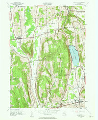
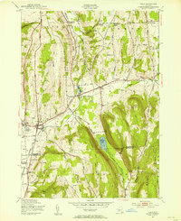
1943 Map of De Ruyter
USGS Topo · Published 1961About this map
De Ruyter Reservoir dominates the eastern hills of this 1943 survey, marking a significant hydrological feature on the border of Onondaga and Madison Counties. The landscape is defined by the steep relief of Highland Park and Arab Hill, where numerous rural schoolhouses like School No 11 and School No 15 served dispersed agricultural communities. The Lehigh Valley railroad cuts through the southern terrain, providing a vital transport link for the village of De Ruyter and the smaller enclave of Puckerville.
Find a feature on this map
54 named features on this map. Tap any name to fly to it.
Don’t see what you’re looking for? This feature index may not catch every label — zoom into the map to look around manually.
Map Details
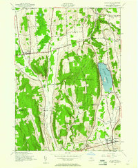
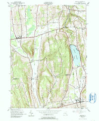
Editions of this 1943 De Ruyter Map
4 editions found
Other maps of this area

1897 · Cazenovia
USGS Topo · 1:62,500

1899 · Cazenovia
USGS Topo · 1:62,500

1900 · Tully
USGS Topo · 1:62,500

1903 · Cortland
USGS Topo · 1:62,500

1904 · Pitcher
USGS Topo · 1:62,500

1942 · Oran
USGS Topo · 1:24,000

1943 · Jamesville
USGS Topo · 1:31,680
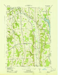
1943 · Oran
USGS Topo · 1:31,680
1943 · Tully
USGS Topo · 1:24,000

1943 · De Ruyter
USGS Topo · 1:24,000