
1957 Map of Des Moines
USGS Topo · Published 1957About this map
Des Moines and its surrounding central Iowa landscape are captured here during a period of mid-century expansion. The capital city radiates from the confluence of the Des Moines River and the Raccoon River, showing a dense network of transit that defines the region’s growth. Heavy rail influence is evident through the routes of the Chicago Milwaukee St Paul and Pacific and the Chicago Rock Island and Pacific, which connect industrial hubs like Newton and Grinnell to the state capital. North of the city, the footprint of the Saylorville Reservoir and Saylorville Lake marks a significant alteration of the natural drainage of the Des Moines River valley.
Find a feature on this map
131 named features on this map. Tap any name to fly to it.
Don’t see what you’re looking for? This feature index may not catch every label — zoom into the map to look around manually.
Map Details
Editions of this 1957 Des Moines Map
This is the sole edition of this map. No revisions or reprints were ever made.
Other maps of this area
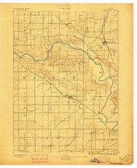
1888 · Shellsburg
USGS Topo · 1:62,500
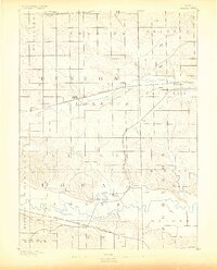
1888 · Amana
USGS Topo · 1:62,500
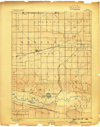
1889 · Amana
USGS Topo · 1:62,500
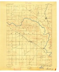
1889 · Shellsburg
USGS Topo · 1:62,500
1891 · Oxford
USGS Topo · 1:62,500
1894 · Oxford
USGS Topo · 1:62,500
1899 · Amana
USGS Topo · 1:62,500
1899 · Shellsburg
USGS Topo · 1:62,500
1903 · Fairfax
USGS Topo · 1:125,000
1903 · Winthrop
USGS Topo · 1:125,000