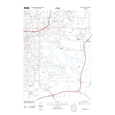
2013 Map of Des Moines SE
USGS Topo · Published 2013About this map
The Des Moines River and its accompanying wetlands dominate this section of the state capital, where the city's urban grid transitions into the broader landscapes of Pleasant Hill and East Des Moines. A major focal point is the Iowa State Fairgrounds, situated just north of the CB And Q ST rail corridor. This area reflects the mid-20th-century expansion of the city into residential developments like Easton Place and Country Estate Village, while also preserving significant green spaces.
Find a feature on this map
152 named features on this map. Tap any name to fly to it.
Don’t see what you’re looking for? This feature index may not catch every label — zoom into the map to look around manually.
Map Details
Editions of this 2013 Des Moines SE Map
This is the sole edition of this map. No revisions or reprints were ever made.
Other maps of this area

1905 · Des Moines
USGS Topo · 1:62,500

1907 · Des Moines
USGS Topo · 1:62,500

1910 · Milo
USGS Topo · 1:62,500

1930 · Mitchellville
USGS Topo · 1:62,500

1931 · Indianola
USGS Topo · 1:62,500

1954 · Des Moines
USGS Topo · 1:250,000

1956 · Des Moines
USGS Topo · 1:250,000

1956 · Des Moines NW
USGS Topo · 1:24,000

1956 · Des Moines SW
USGS Topo · 1:24,000

1956 · Des Moines SE
USGS Topo · 1:24,000