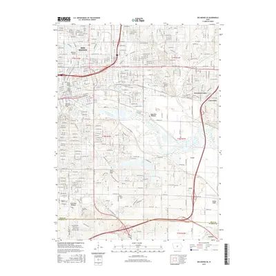
2015 Map of Des Moines SE
USGS Topo · Published 2015About this map
The Des Moines River and Raccoon River converge in this southeastern portion of Iowa's capital, defining a landscape of industrial corridors and diverse residential neighborhoods. The area south of the city center transitions from the urban density of Des Moines into the smaller communities of Carbondale, Avon, and Carlisle. Significant open spaces like Ewing Recreational Park and Lake Easter provide a green buffer amidst the expansion of Pleasant Hill.
Find a feature on this map
134 named features on this map. Tap any name to fly to it.
Don’t see what you’re looking for? This feature index may not catch every label — zoom into the map to look around manually.
Map Details
Editions of this 2015 Des Moines SE Map
This is the sole edition of this map. No revisions or reprints were ever made.
Other maps of this area

1905 · Des Moines
USGS Topo · 1:62,500

1907 · Des Moines
USGS Topo · 1:62,500

1910 · Milo
USGS Topo · 1:62,500

1930 · Mitchellville
USGS Topo · 1:62,500

1931 · Indianola
USGS Topo · 1:62,500

1954 · Des Moines
USGS Topo · 1:250,000

1956 · Des Moines
USGS Topo · 1:250,000

1956 · Des Moines NW
USGS Topo · 1:24,000

1956 · Des Moines SW
USGS Topo · 1:24,000

1956 · Des Moines SE
USGS Topo · 1:24,000