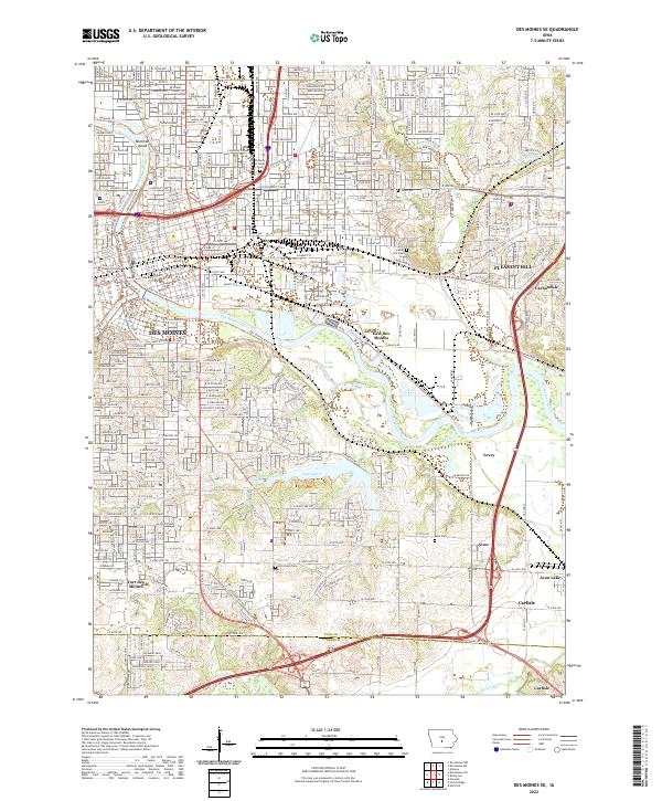
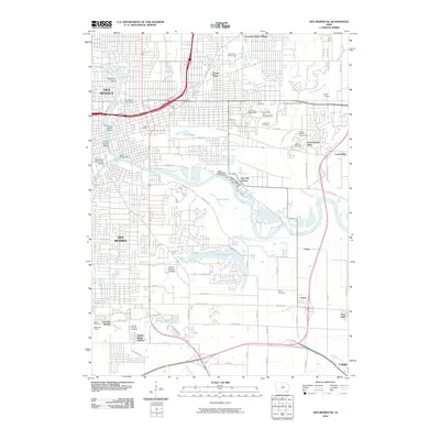
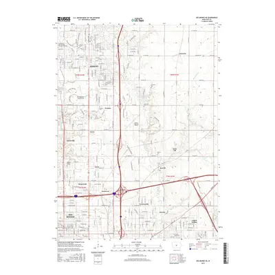
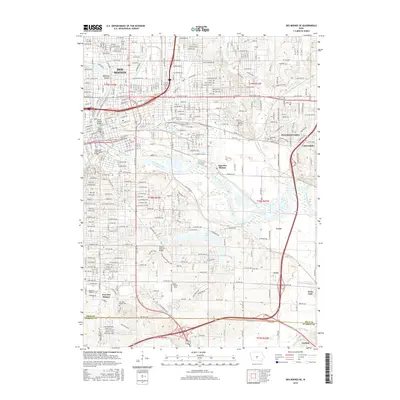
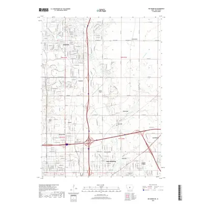
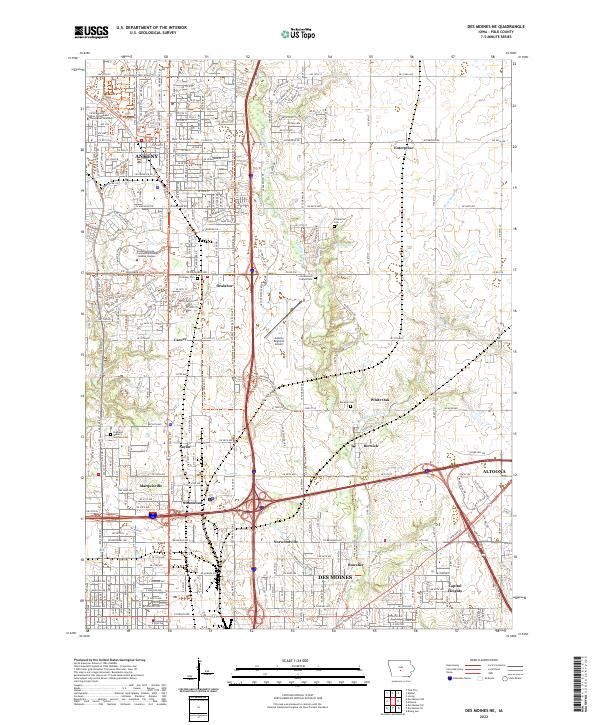
2022 Map of Des Moines SE
USGS Topo · Published 2022About this map
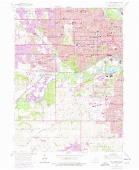
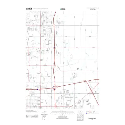
The Des Moines River and Raccoon River converge at the heart of this urban and industrial landscape, anchoring the state capital's southeastern reaches. The mapping details the dense street grids of Des Moines and East Des Moines, transitioning into the developing outskirts of Pleasant Hill and the historical site of Fort Des Moines. The influence of transportation is evident in the CB And Q ST railroad corridor and modern highway networks like I-235 and US Hwy 65.
Find a feature on this map
46 named features on this map. Tap any name to fly to it.
Don’t see what you’re looking for? This feature index may not catch every label — zoom into the map to look around manually.
Map Details
Editions of this 2022 Des Moines SE Map
This is the sole edition of this map. No revisions or reprints were ever made.
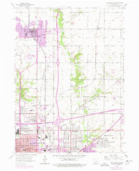
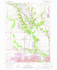
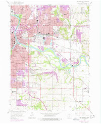
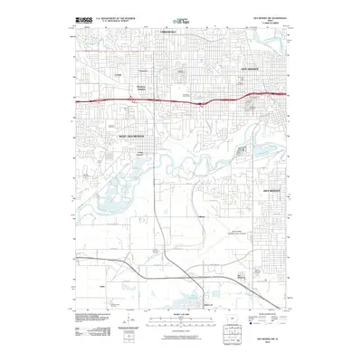
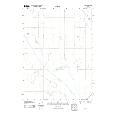
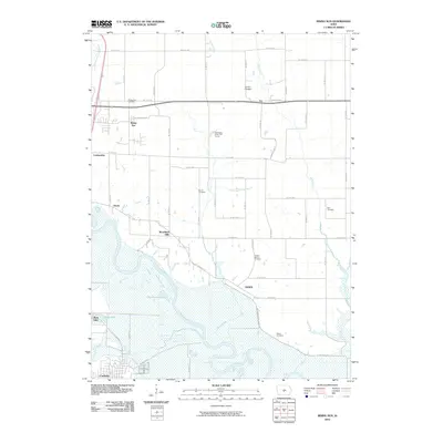
Historical Maps of Des Moines Through Time
36 maps found
1956 Des Moines NE
Polk County, IA
1956 Des Moines NW
Polk County, IA
1956 Des Moines SE
Polk County, IA
1956 Des Moines SW
Polk County, IA
1972 Loring
Polk County, IA

1972 Rising Sun
Polk County, IA
2010 Des Moines NE
Polk County, IA
2010 Des Moines NW
Polk County, IA
2010 Des Moines SE
Polk County, IA
2010 Des Moines SW
Polk County, IA
2010 Loring
Polk County, IA
2010 Rising Sun
Polk County, IA
2013 Des Moines NE
Polk County, IA
2013 Des Moines NW
Polk County, IA
2013 Des Moines SE
Polk County, IA
2013 Des Moines SW
Polk County, IA
2013 Loring
Polk County, IA
2013 Rising Sun
Polk County, IA
2015 Des Moines NE
Polk County, IA
2015 Des Moines NW
Polk County, IA
2015 Des Moines SE
Polk County, IA
2015 Des Moines SW
Polk County, IA
2015 Loring
Polk County, IA
2015 Rising Sun
Polk County, IA
2018 Des Moines NE
Polk County, IA
2018 Des Moines NW
Polk County, IA
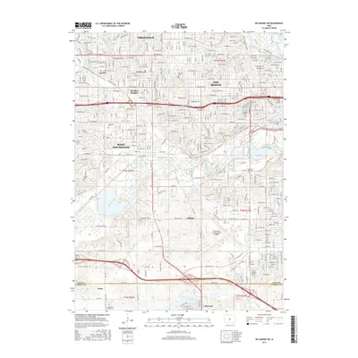
2018 Des Moines SE
Polk County, IA
2018 Des Moines SW
Polk County, IA
2018 Loring
Polk County, IA
2018 Rising Sun
Polk County, IA
2022 Des Moines NE
Polk County, IA
2022 Des Moines NW
Polk County, IA
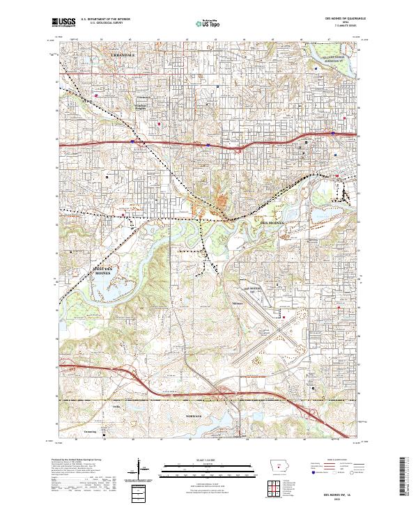
2022 Des Moines SE
Polk County, IA
2022 Des Moines SW
Polk County, IA
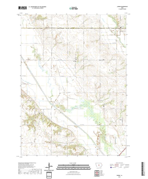
2022 Loring
Polk County, IA
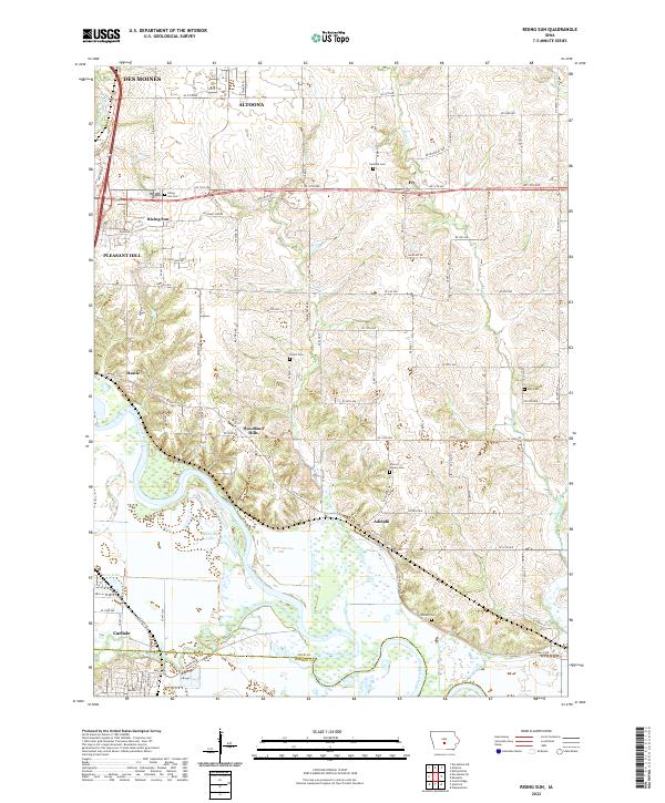
2022 Rising Sun
Polk County, IA