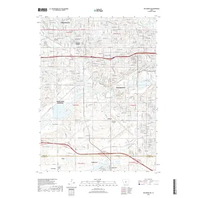
2018 Map of Des Moines SW
USGS Topo · Published 2018About this map
The Raccoon River and Des Moines River converge near the heart of the capital city, anchoring a landscape where dense urban grids transition into the expanding suburbs of West Des Moines, Urbandale, and Clive. This geography is defined by significant public and historic spaces, including the expansive Water Works Park along the riverbanks and the historic Woodland Cem and Saint Ambrose Cem near the city center. South of the main river corridor, the Des Moines International Airport dominates the central portion of the map, while the terrain shifts toward more open land near Norwalk and the shores of Lake Colechester. Notable smaller settlements like Orilla, Millman, and Cumming are visible along the southern margins, marking the rural edge of the metropolitan area.
Find a feature on this map
44 named features on this map. Tap any name to fly to it.
Don’t see what you’re looking for? This feature index may not catch every label — zoom into the map to look around manually.
Map Details
Editions of this 2018 Des Moines SW Map
This is the sole edition of this map. No revisions or reprints were ever made.
Other maps of this area

1905 · Des Moines
USGS Topo · 1:62,500

1907 · Des Moines
USGS Topo · 1:62,500

1908 · Waukee
USGS Topo · 1:62,500

1931 · Indianola
USGS Topo · 1:62,500

1951 · St. Charles
USGS Topo · 1:62,500

1954 · Des Moines
USGS Topo · 1:250,000

1956 · Des Moines
USGS Topo · 1:250,000

1956 · Des Moines NW
USGS Topo · 1:24,000

1956 · Des Moines SW
USGS Topo · 1:24,000

1956 · Des Moines SE
USGS Topo · 1:24,000