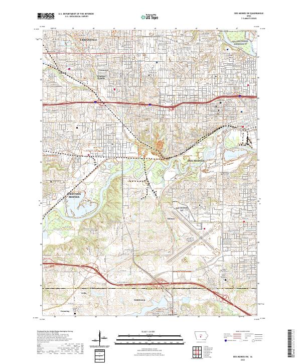
2022 Map of Des Moines SW
USGS Topo · Published 2022About this map
The Raccoon River and Des Moines River confluence anchors this landscape, where the urban expansion of Des Moines meets the suburbs of West Des Moines, Clive, and Urbandale. The area is characterized by a dense network of multi-use paths, including the Great Western Trl and Clive Greenbelt Trl, which follow historic transportation corridors and natural waterways. Educational and medical institutions such as Drake University and the Mercy College of Health Sciences are prominent features within the city's grid.
Find a feature on this map
55 named features on this map. Tap any name to fly to it.
Don’t see what you’re looking for? This feature index may not catch every label — zoom into the map to look around manually.
Map Details
Editions of this 2022 Des Moines SW Map
This is the sole edition of this map. No revisions or reprints were ever made.
Other maps of this area

1905 · Des Moines
USGS Topo · 1:62,500

1907 · Des Moines
USGS Topo · 1:62,500

1908 · Waukee
USGS Topo · 1:62,500

1931 · Indianola
USGS Topo · 1:62,500

1951 · St. Charles
USGS Topo · 1:62,500

1954 · Des Moines
USGS Topo · 1:250,000

1956 · Des Moines
USGS Topo · 1:250,000

1956 · Des Moines NW
USGS Topo · 1:24,000

1956 · Des Moines SW
USGS Topo · 1:24,000

1956 · Des Moines SE
USGS Topo · 1:24,000