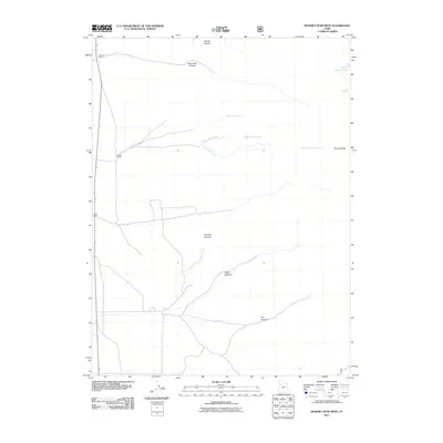
2011 Map of Deseret Peak West
USGS Topo · Published 2011About this map
Deseret Ranch and other established ranching outposts such as Island Ranch and Hatch Ranch define the human footprint in this corner of the Tooele County landscape. Situated along the western approach to the high country, the terrain is marked by a series of dramatic drainages including Big Creek Canyon and Antelope Canyon that descend toward the valley floor. To the east, the elevation climbs toward the prominent Deseret Peak, where the geography becomes defined by alpine features like South Willow Lake and the various forks of Lost Creek. This 2011 survey by the U.S. Geological Survey captures the specialized land use of the area, where the vast open spaces are punctuated by named canyons like Dry Canyon and the notable Indian Hickman area, reflecting the long-standing intersection of high-desert ranching and the steep topography of the Stansbury Mountains.
Find a feature on this map
19 named features on this map. Tap any name to fly to it.
Don’t see what you’re looking for? This feature index may not catch every label — zoom into the map to look around manually.
Map Details
Editions of this 2011 Deseret Peak West Map
This is the sole edition of this map. No revisions or reprints were ever made.
Other maps of this area

1885 · Tooele Valley
USGS Topo · 1:250,000

1953 · Tooele
USGS Topo · 1:250,000

1955 · Tabbys Peak SE
USGS Topo · 1:24,000

1955 · Timpie
USGS Topo · 1:62,500

1955 · Deseret Peak
USGS Topo · 1:62,500

1955 · Tooele
USGS Topo · 1:250,000

1973 · Hickman Knolls
USGS Topo · 1:24,000
1973 · Hastings Pass SE
USGS Topo · 1:24,000

1979 · Rush Valley
USGS Topo · 1:100,000
1979 · Tooele
USGS Topo · 1:100,000