
1955 Map of Tabbys Peak SE
USGS Topo · Published 1956About this map
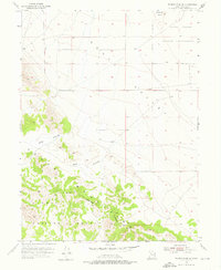
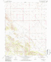
The Dugway Proving Ground Military Reservation dominates the southern landscape of this mid-century survey, illustrating the expansive military presence in the Great Salt Lake Desert during the 1950s. The terrain transitions from the low, flat expanse of Skull Valley in the north and east toward the rising slopes of the Cedar Mountains in the southwest. This area is characterized by desert hydrology and remote topographical features like Wide Hollow and Post Hollow, which drain the eastern flanks of the range. To the northeast, the Skull Valley Indian Reservation borders the valley floor near Hickman Knolls. The map captures a moment when this section of Tooele County was defined by its dual identity as indigenous land and a restricted military testing site, with few roads or permanent structures beyond the established boundaries.
Find a feature on this map
12 named features on this map. Tap any name to fly to it.
Don’t see what you’re looking for? This feature index may not catch every label — zoom into the map to look around manually.
Map Details
Editions of this 1955 Tabbys Peak SE Map
3 editions found
Other maps of this area

1885 · Tooele Valley
USGS Topo · 1:250,000

1953 · Tooele
USGS Topo · 1:250,000

1954 · Camels Back Ridge NW
USGS Topo · 1:24,000

1955 · Tabbys Peak
USGS Topo · 1:24,000

1955 · Camels Back Ridge NE
USGS Topo · 1:24,000

1955 · Davis Knolls
USGS Topo · 1:24,000

1955 · Deseret Peak
USGS Topo · 1:62,500

1955 · Tabbys Peak SW
USGS Topo · 1:24,000

1955 · Tooele
USGS Topo · 1:250,000

1973 · Hickman Knolls
USGS Topo · 1:24,000